Our team was hired to perform the design survey of approximately 19,000 LF for the purpose of a new sanitary sewer line in the City of Plano. First we established control points and benchmarks at 1,000-ft intervals. Horizontal coordinates were established using GPS and vertical values were established by conventional leveling. We researched public records to obtain the deeds of current property owners, plats, and existing easements within the project limits. Property corners were recovered, boundary lines were resolved and a property map was created. The topographic survey included the location of pavement edges, curb and gutter, fences and walls, sidewalks, buildings, creeks, tops and toes of slopes, spot elevations, trees six inches and larger, surface locations of utilities, flowlines of existing sanitary and storm sewer manholes where accessible and other surface features affecting design.
This project also included the preparation of 20 documents for easements with metes and bounds descriptions to be acquired as well as the boundary survey of City of Plano land to be acquired for the North Texas Municipal Water District to expand their existing site. As easements were acquired, we staked the locations of easements and property lines for limits of construction.
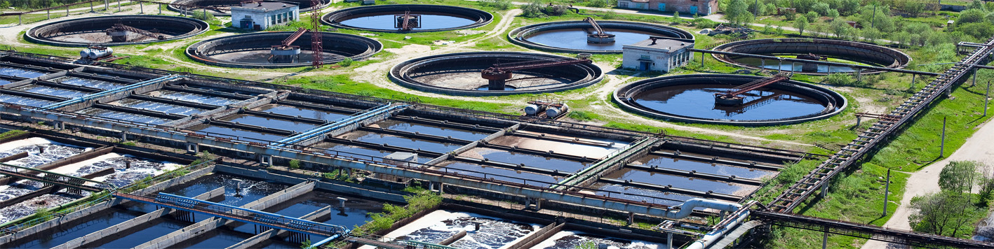
Our team also performed the survey of the Level A and Level B utilities that were marked by a private subsurface utility engineering firm. This included surveying the locations of the marked utility lines, test holes, and locations of all surface utilities within the project limits.