Uncertainty about boundaries, topography, existing conditions and subsurface features can lead to costly delays and unforeseen complications. Bowman’s surveyors and geospatial experts measure your world with a full range of surveying and mapping services that enable us to collect data faster, safer and more accurately than ever before.
Our commitment to excellence is evident in our ability to customize our approach to each project from the outset. We select the right techniques based on the specific challenges and objectives of your site, ensuring that our methods align perfectly with your project’s needs.
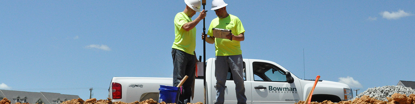
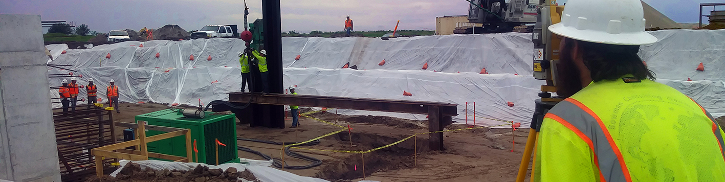
Using advanced instruments and methods, our licensed surveyors deliver precise boundary, topographic, ALTA/NSPS land title and construction staking surveys. Our expertise ensures compliance with local, state and federal regulations, making us a trusted partner for your land development needs.
Precise ALTA, boundary, topographic and construction staking.
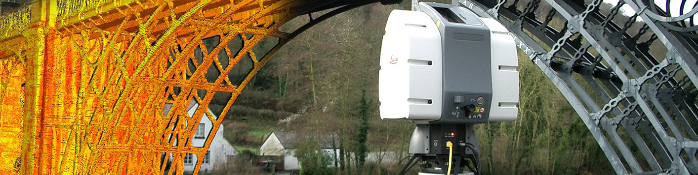
Applying leading 3D laser scanning and lidar technology to capture highly detailed, accurate data of existing conditions. This non-invasive method allows us to collect critical details that integrate seamlessly with your project’s workflow.
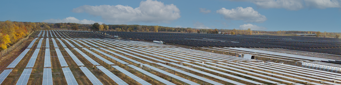
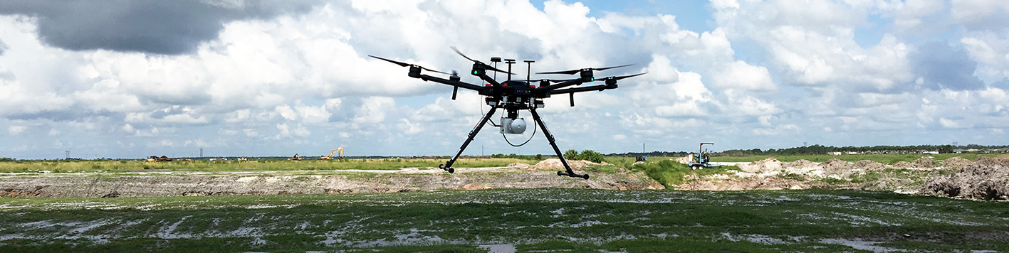
High-resolution imagery and geospatial data for detailed maps and models. Using drones and aircraft, Bowman’s aerial solutions make it easier to visualize and analyze landscapes with unparalleled detail.
From ponds and inland waterways to karst and heavily fractured areas, Bowman specializes in unique hydrogeologic settings. Our specialized equipment and modeling software ensures we capture, map and analyze submerged surfaces accurately.
Blending traditional techniques with modern technology to help you maintain safety compliance and operational efficiency. With clear, actional reports, you can make decisions with confidence.
Manned and unmanned aircraft enable our team to quickly assess damage and identify hazards, allowing your community to recover faster and more effectively.