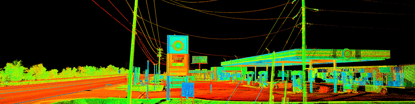
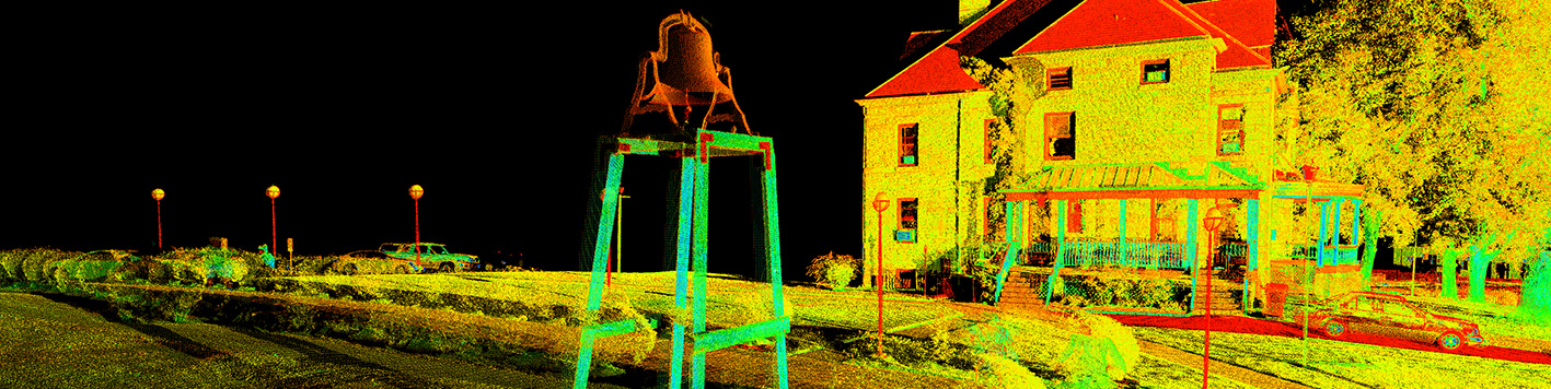
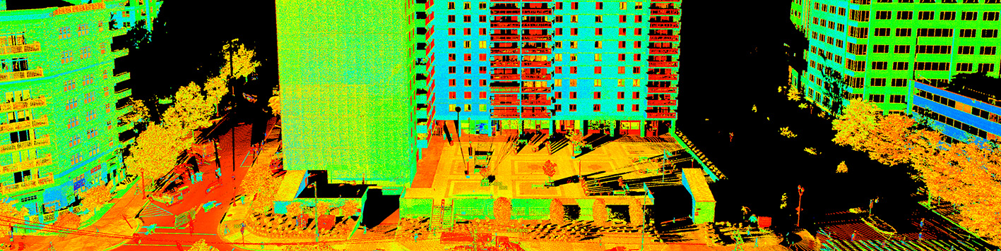
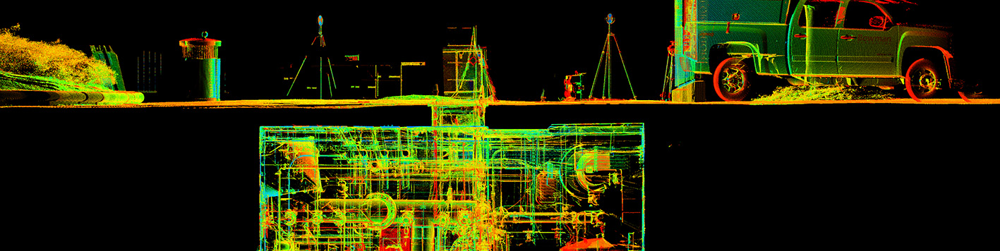
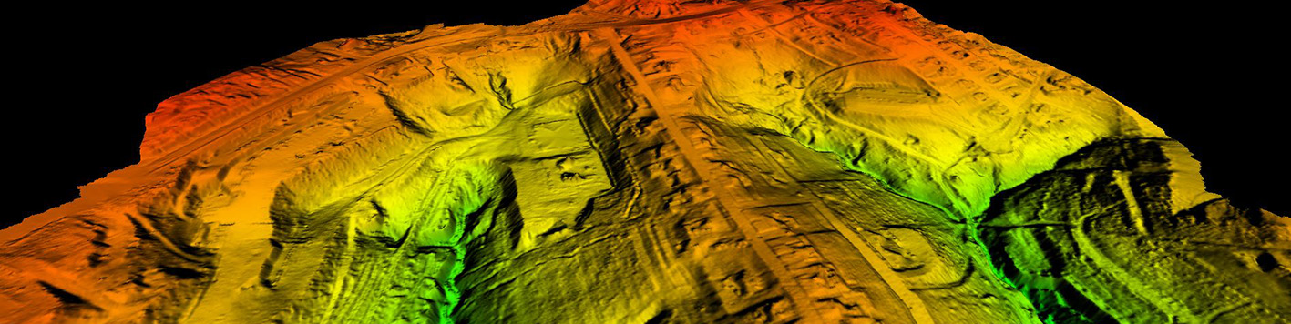
Transforming your projects with precision and innovation, Bowman offers advanced 3D laser scanning and lidar solutions tailored to meet the demands of modern industries. Whether it’s civil, architectural, structural, MEP related or anything in between, our technology-driven capabilities capture, analyze and visualize data to set your project up for success.
Our proven scanning and lidar technology enables our team to minimize field time and cost while delivering value-added results. We’ve invested in best-in-class equipment that converts reality into immersive data, promoting enhanced decision-making and setting your project up for sustained success. We don’t just scan, we deliver data that helps achieve project milestones efficiently and effectively.
Whether you require as-built documentation, renderings or building information modeling, Bowman’s 3D laser scanning and lidar technology delivers actionable data that integrates seamlessly with your project’s workflow.