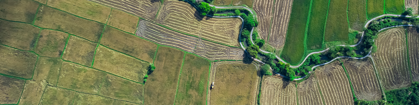


Aerial mapping isn’t just about capturing images of hard-to-reach places—it’s about gaining information-rich data. Bowman invests in the latest technology to collect, analyze and deliver actionable intelligence that drives successful project outcomes. Operating both manned and unmanned aircraft systems (UAS), our aerial mapping capabilities allow us to tailor our approach based on project requirements and client needs.
Whether it’s for land development, utility inspection, disaster mapping or environmental monitoring, our team deploys aerial mapping equipment across diverse industries. Our approach is centered on leveraging technology to improve safety, reduce costs and enhance data quality.
Bowman provides aerial mapping solutions for a broad range of applications, using both unmanned and manned platforms. With nationwide resources and a flexible fleet, no location is out of reach.
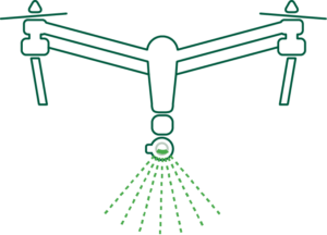
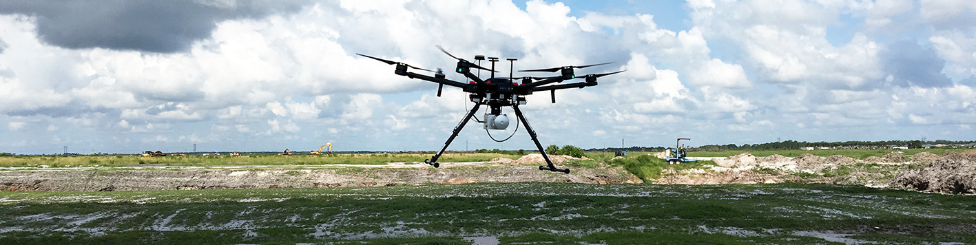
We use an advanced fleet of drones, including multi-rotor and long endurance fixed wing UAS with RTK capabilities, such as the eBee XSkyfront Perimeter8 and BirdsEyeView FireFly 6 ProFreefly AltaX—enabling our crews to map hundreds of acres per flight with high accuracy. This level of information allows for seamless integration of survey data into workflows and ensures precision and efficiency in every project.
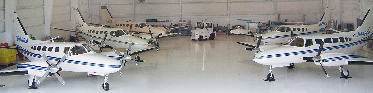
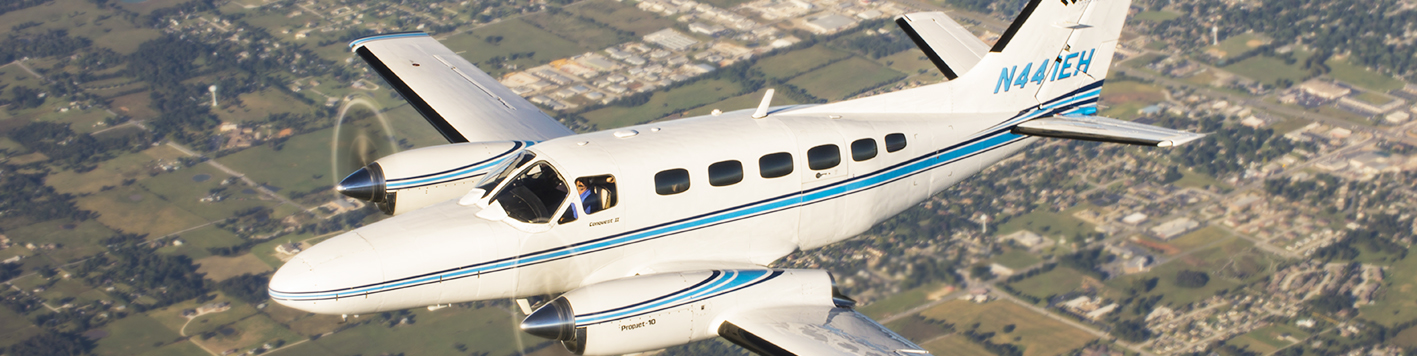
Bowman’s manned aircraft fleet stands as one of the most technologically advanced digital mapping providers in the industry. Our specialized aircraft are equipped with a range of large- and medium-format digital sensors, including the PHASE ONE Pas Pana “Blackbird” digital cameras, Leica ADS100 Airborne Digital Sensors, Leica DMC-1 Digital Frame Camera and Optech T2000 Lidar sensors.
Bowman provides accurate photogrammetric deliverables, including high-resolution orthomosaics, 3D models, volumetric measurements and terrain data in formats such as DTM, TIN and point cloud. By combining aerial imagery with precise ground control, we create geometrically correct products that integrate seamlessly into engineering, GIS and design workflows.
Bowman’s aerial inspection services offer a smarter, safer way to monitor assets and infrastructure across a wide range of markets—from energy and utilities to transportation and industrial facilities. By deploying next-gen aerial technology, our team captures high-resolution data while minimizing disruption to operations. Clients benefit from reduced safety risks, quicker turnaround times and a highly collaborative approach that allows for real-time virtual participation during inspections. Whether we’re independently assessing a site or following a client’s live direction, our process is designed to deliver accurate, project-specific data efficiently and with minimal overhead.