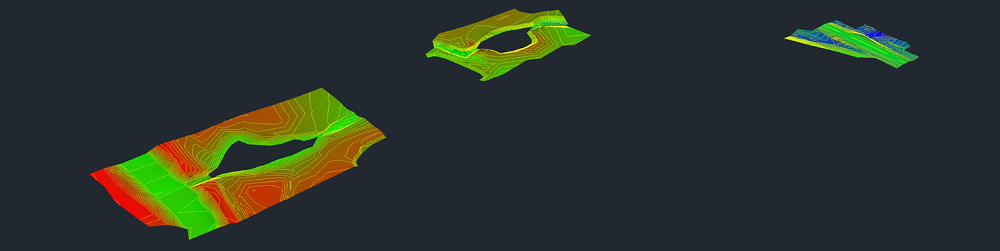
Our team completed the topographic survey for the Rush Creek Flood Study located along Paul Wilson Road in Collin County, Texas. To begin the project, we received the Collin County 2018 LiDAR data to review and ensure that control and topographic survey data would match the LiDAR data. Our GIS personnel reviewed the LiDAR data to confirm that the horizontal datum was based on the Texas State Plane Coordinate System, North American Datum of 1983 (NAD83) (NA2011), North Central Zone (4202). The vertical datum was based on the North American Vertical Datum of 1988 (NAVD88) using Geoid 12B. Our field crews established horizontal and vertical control throughout the project area using GPS and provided topographic data in areas determined by the engineer, which included pavement along Paul Wilson Road, culverts, spillways, berms, walls, tops and toes of slopes, and spot elevations. Deliverables included a CAD drawing in AutoCAD format prepared to client standards, .tin and .xml surface files, and a copy of field notes and field sketches