EDF Renewables contracted us to provide aerial mapping survey services for a new solar facility to be constructed on an old power plant site.
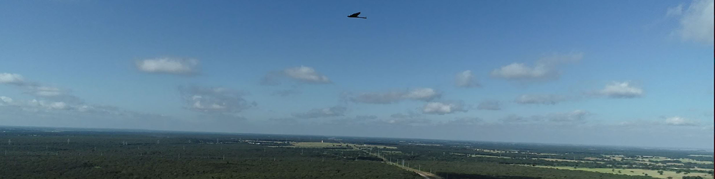
The combination of cutting edge Lidar technology and UAV services allowed our team to conduct topographic surveys throughout EDF’s 2,500 acres of land. A large portion of the terrain was covered with timber, which typically causes difficulty and inefficiency for field crews doing traditional topographic surveying. However, our UAV services resulted in the efficient collection of accurate survey data.
In addition, the UAV was also able to capture up-to-date high-resolution orthoimagery on the proposed site. This imagery, along with the topographic data, allowed the client to make informed decisions on site feasibility and proposed panel layout.
Of course, the timing of receiving these deliverables was a critical component to the start of this project. Utilizing our UAV fleet was the only feasible method to meeting the client’s deadline requirements. Detailed deliverables were provided in the necessary time- frame and the client was able to meet initial closing and filing deadlines.