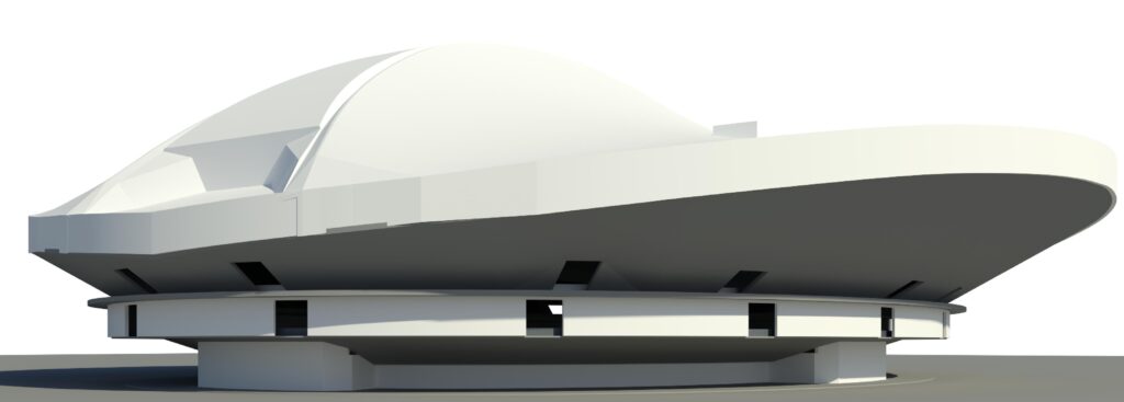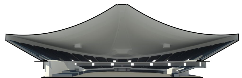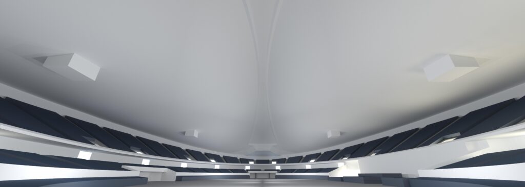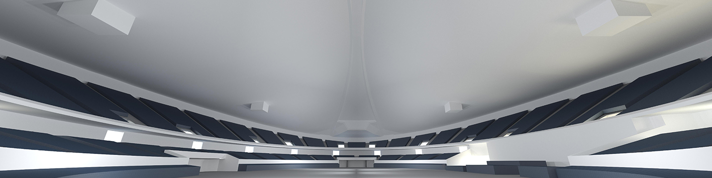
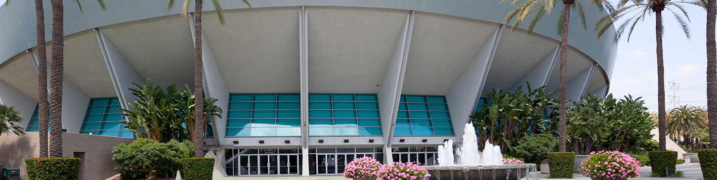
A 3D scan of the Anaheim Convention Center was conducted to prepare for a projection mapping show. Projection mapping transforms unconventional surfaces into dynamic canvases for large-scale visual projections. By digitizing the target surface through this 3D scan, the projection mapping team can create and refine content well ahead of the show date.
Process
The scanning process was carefully planned and executed using a Faro s350 scanner, which offers a range of over 350 meters (more than 1,000 feet). Multiple high-resolution scans were taken from the floor of the arena, resulting in the collection of over 1 billion points of data.
The raw point cloud data, containing XYZ and RGB values, formed a 3D map of the space. To meet the needs of modern projection mappers, the point cloud was converted into a mesh and exported as an FBX file compatible with Autodesk Maya.
Result
The FBX file was created by modeling the elliptical roof surfaces and providing a detailed layout of the arena in Autodesk Revit. This allowed the projection mapping team to effectively plan and execute their visual content for the show.