Our team completed two simultaneous projects under the same work authorization for the Texas Department of Transportation (TxDOT): 1) The US 75 Project in Allen was completed for the purpose of a bridge replacement and proposed changes to the highway main lanes leading up to the bridge, and 2) The SL-12 Project in Dallas for a proposed tunnel.
For the US 75 project, aerial photogrammetry and lidar were collected within a 600-ft corridor along the main lanes (7,700 LF of roadway) and a 1,700-ft corridor at the bridge location. Our staff also completed a boundary survey of the adjoining parcels along the project. Field crews set project control, performed on the ground surveying for above and below ground utilities, and detailed drainage structures, creeks and obscured areas. We also performed 3D terrestrial Lidar scanning to collect bridge elements unable to be seen from the aerial survey.
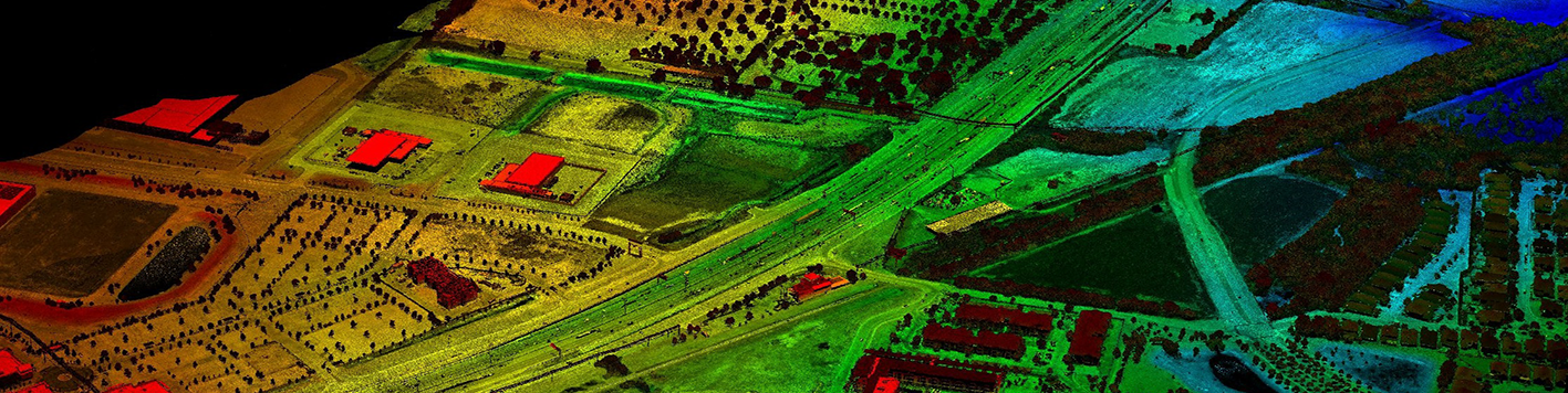
The SL-12 project in Dallas was completed for the purpose of a proposed tunnel underneath an existing tollway. Aerial surveying for the collection of photogrammetry was conducted within a 600-ft corridor along the main lanes, and mobile lidar was collected within the existing right-of-way. Our staff also completed a boundary survey of the adjoining parcels along the project. Field crews set project control and performed on the ground surveying for above and below ground utilities, and detailed drainage structures, creeks, and obscured areas.
Deliverables included signed and sealed control sheets, imagery and point cloud files, and Microstation files completed to TxDOT standards.