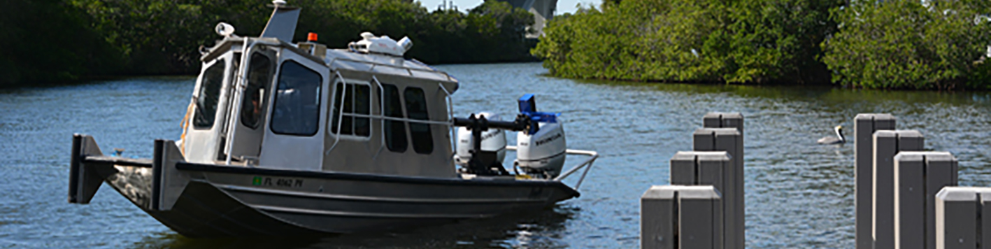
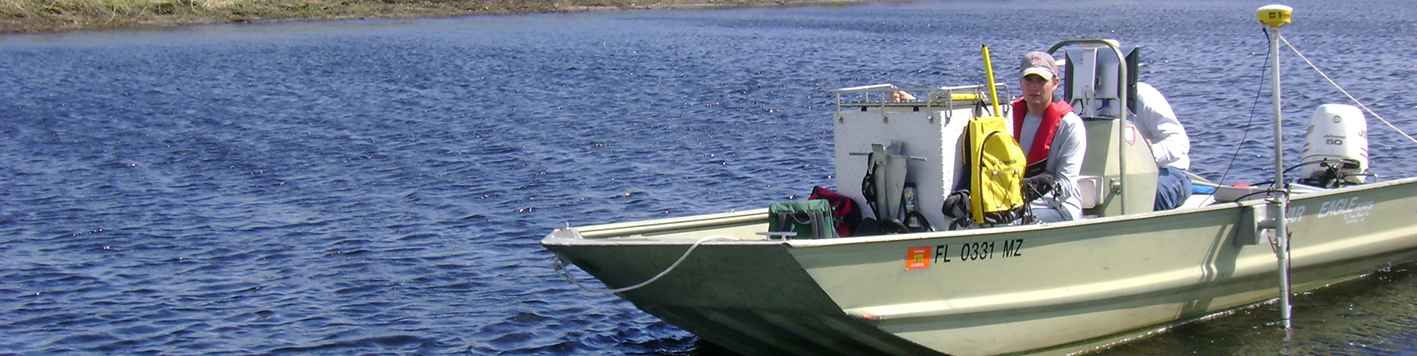
Bring clarity to your marine project with Bowman’s bathymetric and hydrographic survey solutions. Our team specializes in unique hydrogeologic settings, from ponds and inland waterways to karst and heavily fractured areas. We deploy specialized equipment and modeling software to solve even the most technically demanding challenges—efficiently and cost-effectively.
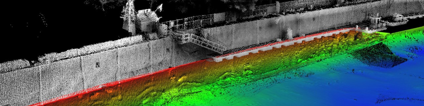
Our survey data is versatile, supporting a range of applications including point cloud analysis, digital surface generation, volumetric calculation, structural analysis, asset inventory, GIS integration and CADD drafting. Trust Bowman to deliver comprehensive underwater mapping data.
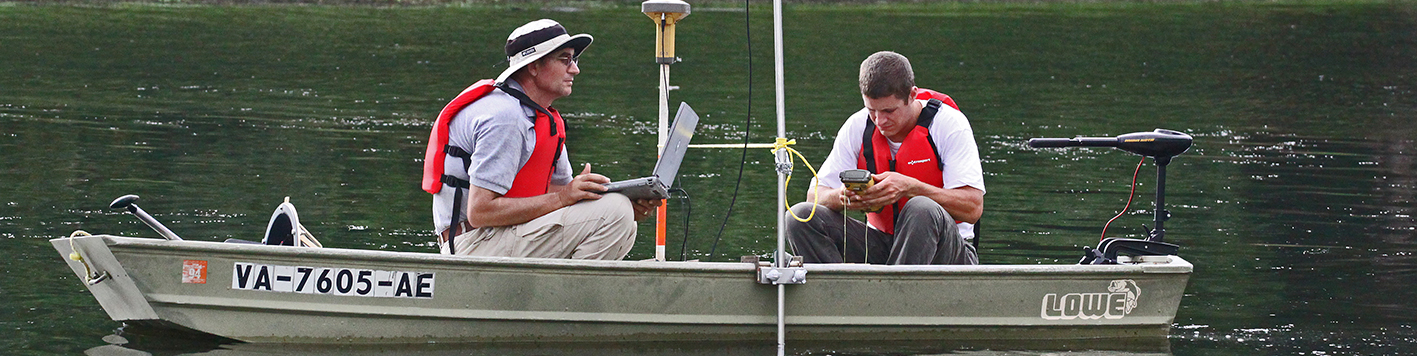
Our bathymetric and hydrographic specialists prioritize accuracy, ensuring clients receive actionable insights that drive successful project outcomes.