Our team provided dual mapping data as part of the flood warning and optimization system in addition to maintenance and inspection contracts statewide. We were contracted to provide bank-to-bank bathymetric mapping and simultaneous LiDAR data collection of the Mohawk River between Locks E8 and E7 to support flood modeling activities. We utilized our 24 ft, dedicated hydrographic survey vessel equipped with R2 Sonic 2024 multi-beam-echo- sounder (MBES), Teledyne DMS 05 inertial measurement unit, dual hemisphere VRS-RTK corrected GNSS enabled GPS receivers, and Dynascan M250 dual had mobile LiDAR unit. The team also provided several miles of SBES data collection in regions of shallow water and heavy aquatic vegetation.
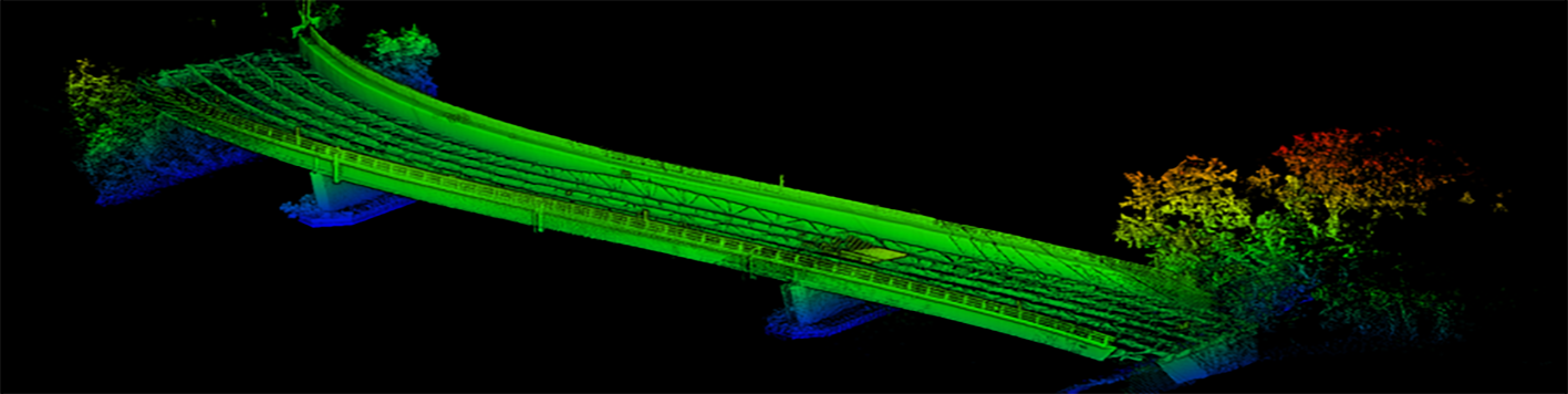
The team was able to capture bank to bank bathymetry and all overhead utilities, and bridge structures within the entire survey footprint (12 miles) within five days of on water survey time. All above water line (LiDAR) and below waterline (MBES) data is captured and registered in the same software processing program (QINSY) and able to be viewed in real time. Real time data capture and viewing allows us to perform on-the-fly QA/QC as well instantaneous data gap assessment which drastically reduced resurvey time. LiDAR and MBES data were captured at an extremely high level of detail and accuracy and utilized by hydraulic modelers to evaluate flooding impacts and assist with the design of future mitigative efforts.