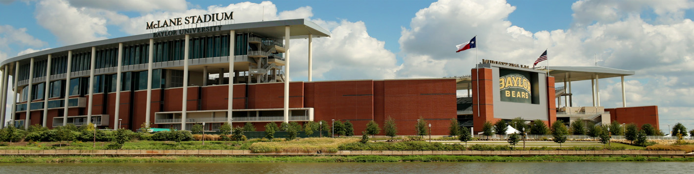
This project consisted of a 160 acre boundary and topographic survey along the Brazos River that was used for the civil engineering design for the new football stadium. Timing and confidentiality on this project were extremely important as the plan for a new stadium was not yet known to the general public. As such, we placed multiple crews on this project and took all logos off of trucks and equipment so they could not be identified.
As part of the survey, second order Horizontal and vertical control was to ensure the highest accuracy standards for the planned civil engineering design that included not only the stadium but a marina and multiple platforms along the Brazos River. There were also multiple major utility lines affecting the property that could have made construction of the stadium impossible. As such, all above ground and below ground utilities were located and surveyed, which resulted in a major electrical transmission line needing to be relocated.
In addition to these services, the gradient boundary of the Brazos River had to be determined in order to establish the boundary between the proposed site and the state-owned Brazos riverbed. It was determined that there was a deed overlap between the Baylor property and the lake rights that the City of Waco had to hold water within the riverbed. This required a meeting with the General Land Office of Texas to resolve the encroachment of Lake Brazos (City of Waco property) on this Baylor property.
One of the main objectives was for Baylor to acquire the property and to fully understand the legal boundaries of what they were planning on purchasing. The metes and bounds survey with all easements (which included I-35 and multiple franchise utilities), rights of way, utility locations, and all topographic data were provided to the client in AutoCad and shape files along with the ASCII, TIN and DTM files.