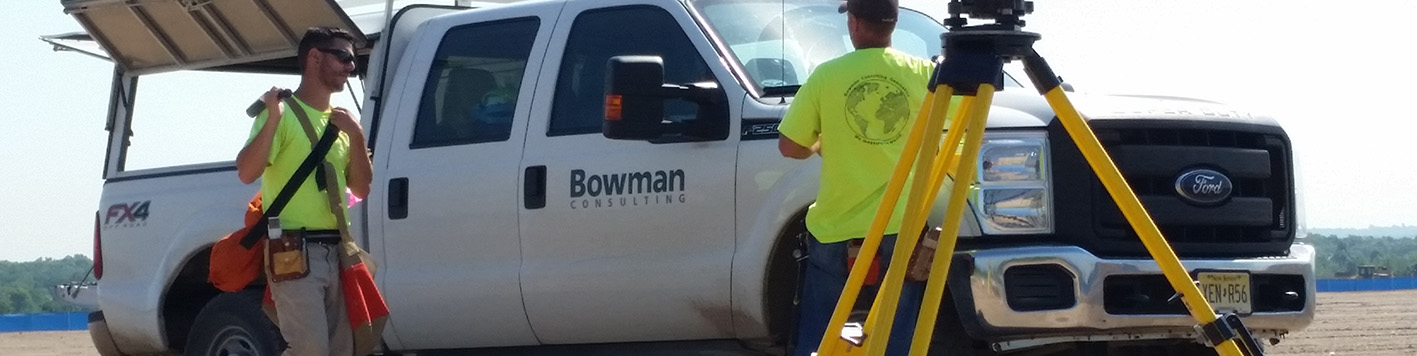
Bowman is licensed to provide surveying and geospatial services across nearly every state in the nation, and our teams are ready to meet you wherever your project takes us, including by land, air and water. On the ground, we handle boundary and ALTA/NSPS land title surveys, topographic surveys, plat and legal description preparation and construction layout staking. In the air, our teams deploy drones and manned aircrafts for aerial mapping and LiDAR. We also offer terrestrial LiDAR for high-resolution 3D scanning of complex above-ground environments, and bathymetric surveying for projects involving waterways, lakes and coastal areas.
In Louisiana, Bowman operates as Bowman Consulting Group, Ltd. of Virginia Firm VF. (0000846)
In North Carolina, Bowman operates as Bowman North Carolina Ltd. (License Number F-1445)
TBPELS Firm No.10120600
13461 Sunrise Valley Dr
Suite 500
Herndon, VA 20171
703.464.1000

No news articles found with the tag: Survey Operations.