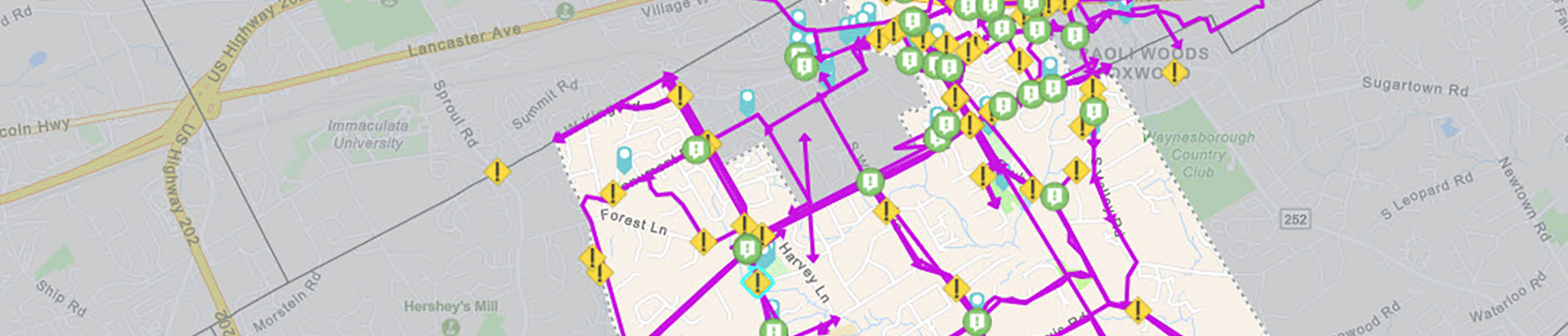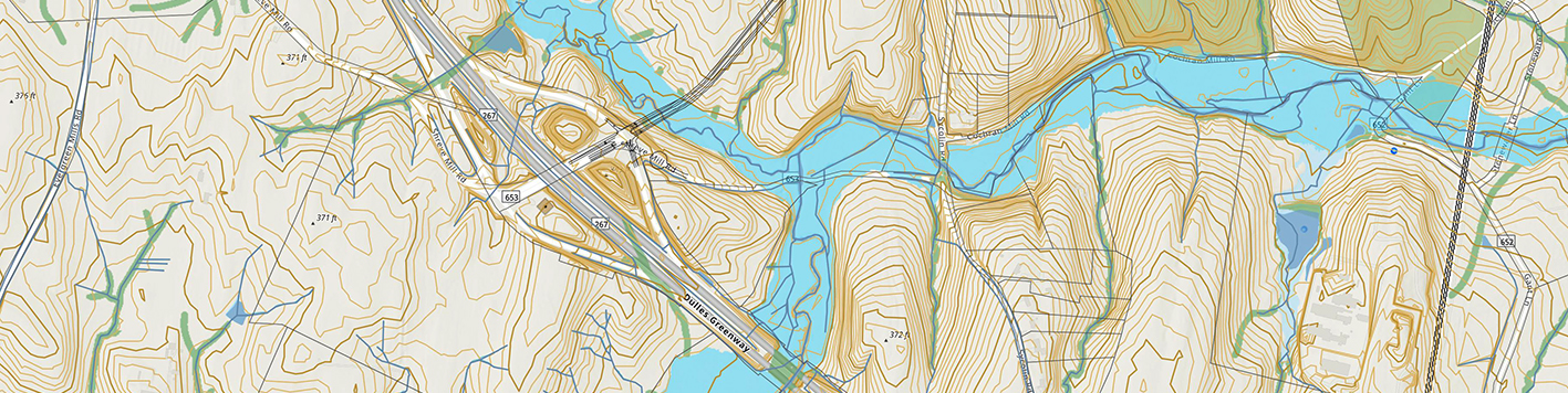
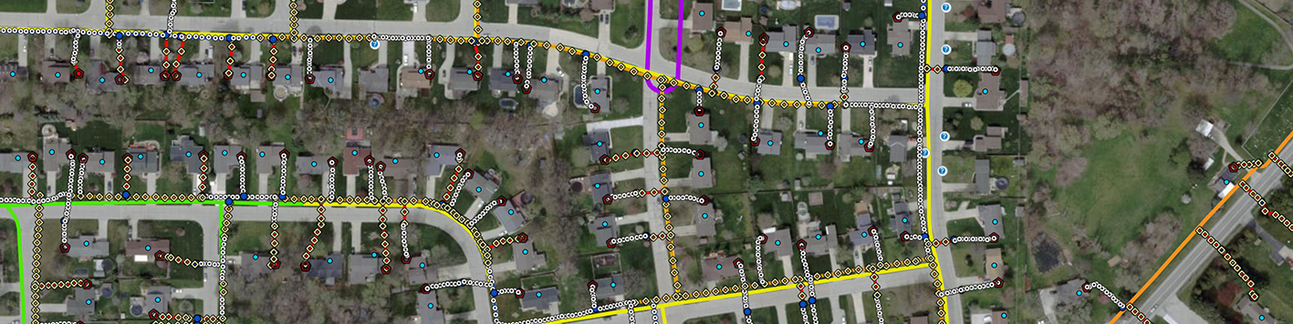
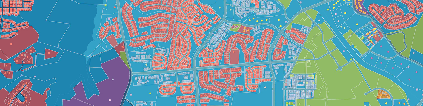
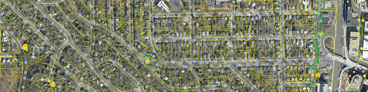
Transform real world data into powerful information. Bowman’s geographic information system (GIS) team leverages leading technology and industry best practices to turn project data into actionable insight, enabling clients to make informed decisions. Our full suite of GIS services supports every stage of the project lifecycle, including custom application development, data collection and analysis, system implementation, AI integration and training.
With experience across various industries, including utilities, energy, transportation and government agencies, Bowman’s GIS specialists have the knowledge and insight to develop solutions that deliver results. Let us transform your data into actionable intelligence, enabling you to optimize processes, streamline workflows and achieve objectives.
By centralizing infrastructure information and leveraging geoprocessing tools, our services eliminate the need for manual data sorting and accelerate the distribution of updated asset information, improving efficiency and scalability for your organization.
Bowman extends the ArcGIS platform with custom applications, dashboards and AI-powered workflows built around the way your team works, specializing in advanced software development, ArcGIS extension and configuration, and geospatial AI integration. We start by assessing your environment and building a clear roadmap, then develop and administer the custom applications that keep your systems running end to end. We use existing technology or custom development, whichever fits best for your team.