Our team completed the design survey of approximately 6,700 LF for the purpose of a new sanitary sewer relief interceptor in the City of Fort Worth. The proposed alignment for this project traversed through a city park, crossed US Highway 287, Sycamore Creek, and public right-of-way.
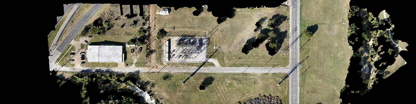
This project was completed in two phases. The first phase involved providing aerial imagery and topographic survey for a route study. We established control points and benchmarks throughout the project limits. Horizontal coordinates were established using GPS and vertical values were established by conventional leveling. All control was tied into the City of Fort Worth control network. Our team utilized drone technology to collect the aerial imagery and topographic data along six proposed alignments. We also performed boundary surveying in specific areas to locate public rights-of-way for the final alignment. We researched public records to obtain the deeds of current property owners, plats, and existing easements within the project limits. Property corners were recovered, boundary lines were resolved by a registered professional land surveyor, and a digital property map was created.
The second phase involved surveying the location of the final alignment. For this phase, our team extracted topographic data collected by the drone within 50 ft on each side of the proposed alignment. We performed on-the-ground surveying to provide supplemental data in obscured areas such as creeks and high vegetation areas. We also finalized the boundary lines and property map for the remaining properties that were not established during the route study phase. Our use of drone technology enabled the client to receive data quicker and more cost-effective than conventional survey methods, which helped meet an aggressive schedule.