
Surveying plays a critical role in understanding existing conditions, reducing risk and supporting sound decision-making across a wide range of projects. Whether related to property ownership, development planning or construction execution, accurate survey data provides clarity before issues arise.
Understanding when and why a survey is needed helps project teams avoid delays, resolve uncertainty and move forward with confidence.
Common reasons a survey may be required
Surveys are often required to establish accurate information about land, improvements and site conditions. These reasons include:
- Locating property lines and boundary corners
- Establishing missing or unclear boundary markers
- Planning construction such as buildings, additions, fences or infrastructure
- Identifying or resolving potential encroachments
- Supporting real estate transactions and title review
- Evaluating subdivision or land development potential
- Meeting flood insurance or floodplain documentation requirements
- Supporting estate planning or property transfers
- Addressing property tax or assessment concerns
- Complying with land use or regulatory programs
By identifying these conditions early, surveys help prevent conflicts, redesign and unexpected costs later in the project lifecycle.
Survey types that support project planning and construction
Different survey types serve different purposes depending on project goals and regulatory requirements.
- Boundary surveys: Establish legal property lines and corners based on records and field evidence. They help prevent disputes, clarify ownership and support development or transaction decisions.
- Topographic surveys: Document existing terrain, elevation changes and natural features. This information supports planning, engineering, environmental coordination and design development.
- Construction staking: Translates design plans into a precise field layout. Accurate staking ensures that structures, utilities and infrastructure are built in the correct location and elevation, reducing construction errors and rework.
- ALTA/NSPS surveys: Commonly required for commercial real estate transactions. They provide detailed information on boundaries, easements, rights-of-way and visible improvements needed by lenders and title companies.
How surveys help reduce risk
Survey-related issues often become more complex and costly when identified late. Encroachments, missing corners or unclear site conditions can delay construction or result in disputes after work has begun.
Accurate survey data helps project teams identify constraints early, coordinate design and construction and meet regulatory requirements with confidence. For projects involving subdivision or development, surveys also clarify applicable regulations and approval pathways.
Survey and geospatial data as a project foundation
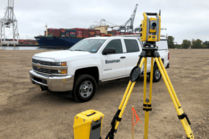
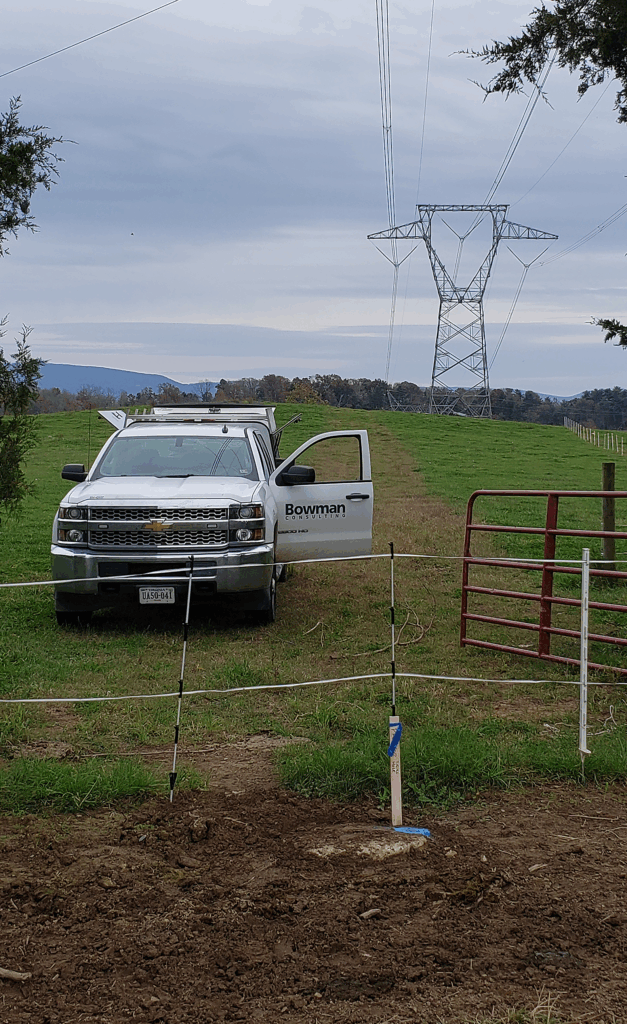
Uncertainty about boundaries, topography, existing conditions or subsurface features can introduce risk at every project stage. Bowman’s survey and geospatial professionals provide a comprehensive range of surveying and mapping services that help address these challenges.
Using advanced instruments and methods, Bowman delivers boundary, topographic, ALTA/NSPS and construction staking surveys, along with geospatial solutions such as aerial mapping and 3D laser scanning. By selecting the right techniques for each site, Bowman helps ensure survey data is collected efficiently, integrated into project workflows and applied to support informed decision-making from planning through construction.