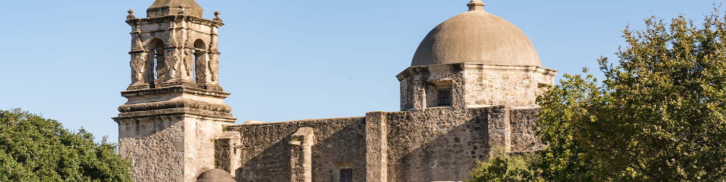
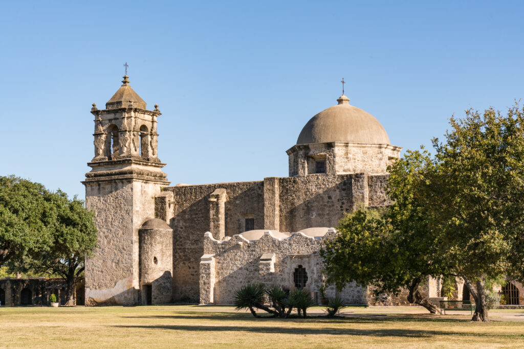
Standing for more than 250 years, Mission San José y San Miguel de Aguayo (Mission San Jose) is one of San Antonio’s most recognizable historic landmarks, and one of the most visited sites within San Antonio Missions National Historical Park, one of only 26 UNESCO World Heritage Sites in the US.
Ford, Powell & Carson, a San Antonio-based architecture and historic-preservation firm, needed existing-conditions documentation to plan repairs for the landmark. The firm turned to Bowman to capture the building exactly as it exists today, down to the millimeter.
But documenting a 250-year-old active church within a protected National Park requires special care and planning.
Challenge
In buildings as old as Mission San Jose, walls aren’t perfectly straight, ceilings can shift and domed elements have subtle movements over time. Those details are important to document when planning repairs, but they’re not easy to capture with traditional documentation methods. On top of this, the building is an active church and part of a popular National Park, so the work needed to be completely non-invasive and done quickly.
From Bowman’s perspective, limited lines of sight and the need to respect a sensitive historic environment added complexity to this project. Scanning the roof would be a challenge on its own. There was no safe way to access it, and no guarantee the structure could support the weight of crews, ruling out traditional capture methods.
Solution
No single piece of equipment was right for the project, so Bowman deployed a multi-system LiDAR & photogrammetric strategy that matched the right tool to the challenges of each area of the building.
For exterior facades and primary structural surfaces, the team used a Trimble X9 terrestrial laser scanner. The X9 captured detailed, georeferenced snapshots from multiple positions around the building, ensuring that every face of the stonework was recorded with millimeter-level accuracy.
For the roof, Bowman deployed a Skydio inspection drone to collect aerial data above the roofline. This kept personnel safely on the ground and protected the structural integrity of the roof while still delivering complete coverage of the area.
Inside the building, our team used a NavVis VLX mobile scanning system to dramatically reduce interior scanning time without sacrificing the density of the detail, or precision of information that the project required.
The non-invasive nature of this multi-system capture approach enabled Bowman to walk through the space with equipment without contacting surfaces or risk of disturbing the church.
Impact
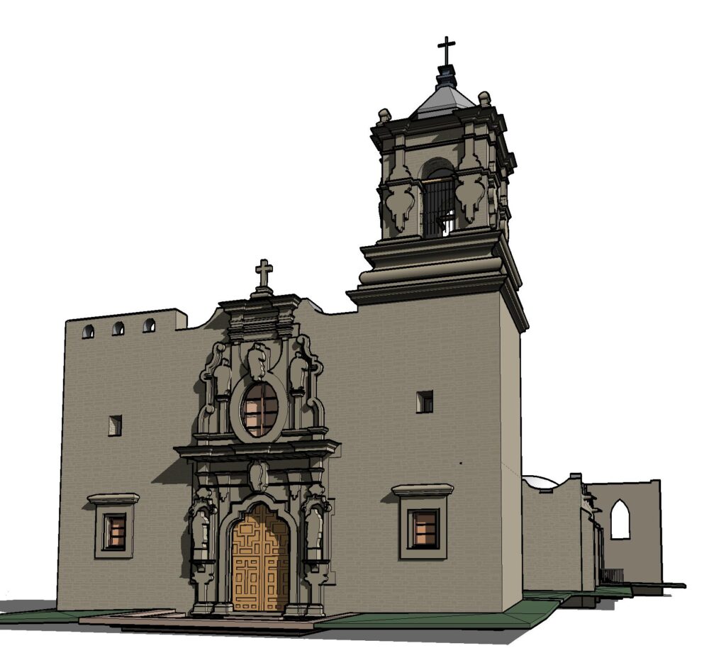
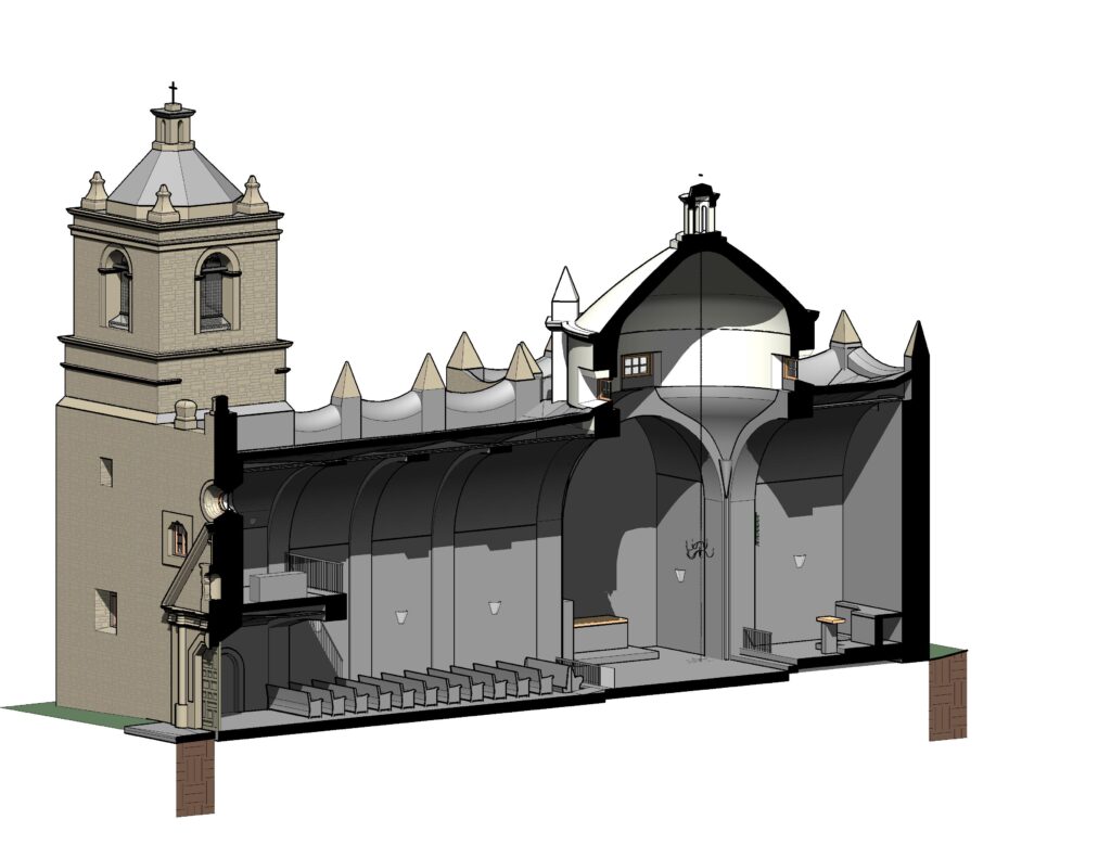
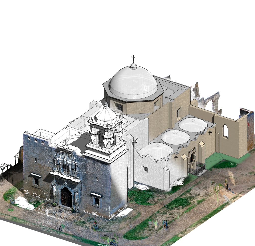
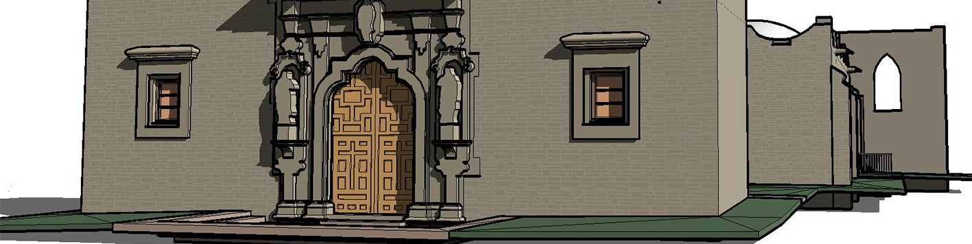
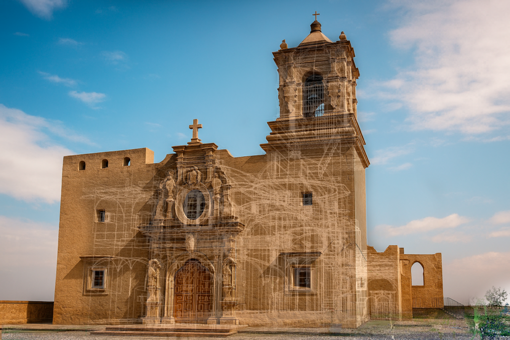
The resulting deliverables give Ford Powell & Carson’s data about the landmark that didn’t exist before. All captured data was processed into an Autodesk ReCap point cloud file with RealView panorama functionality and an interactive 360° online viewer, digitally and permanently preserving the current state of the building. A design-ready BIM model was also produced to serve as the architect’s base layer in their current planning & preservation efforts. This enables the restoration team to approach their work with a level of specificity and confidence that traditional documentation methods couldn’t provide.
For Bowman, the project also illustrates the power of a thoughtfully assembled technology stack. No single scanning system could have efficiently addressed every challenge the site presented. But together, they enabled a complete and accurate documentation of one of Texas’s most treasured landmarks, while ensuring the building and the community that still gathers within it remained undisturbed.