
Arlington County, Virginia prioritizes urban forestry as a key component of its long-term planning. With over 755,000 trees contributing to the character of the community, habitat, pollution removal, carbon storage and stormwater management, its tree canopy is critical infrastructure.
But protecting and enhancing such a valuable resource requires more than good intentions; it demands reliable, up-to-date data. To elevate the accuracy of its forestry data, Arlington County turned to Bowman to gather the detailed information needed to track trends, plan effectively and make data-driven decisions to support a healthier, more sustainable urban ecosystem.
Challenge: Limited Legacy Aerial Imagery
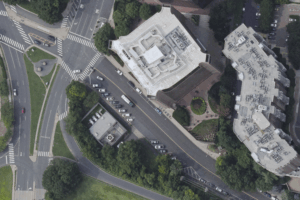
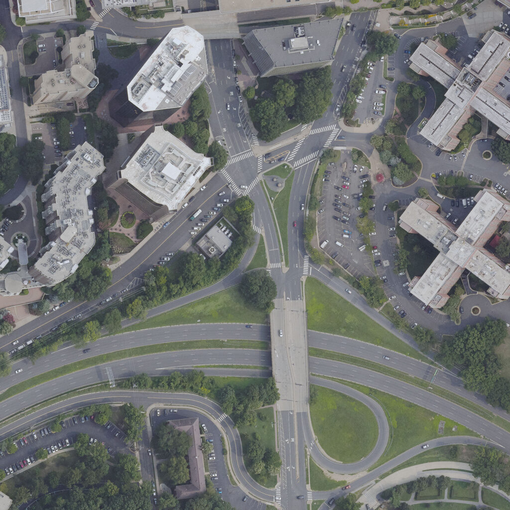
Maintaining and enhancing this canopy required a more accurate, up-to-date and cost-effective method of monitoring tree coverage. Traditional aerial imagery from previous studies in 2008, 2011 and 2016, while useful, delivered data with only about 95% accuracy. Interest in increased accuracy since the last study led Arlington County to set a goal of 99% accuracy. This data was critical in reaching this goal.
Solution: Next-Gen Tree Canopy Analysis Using Dual-Sensor Technology
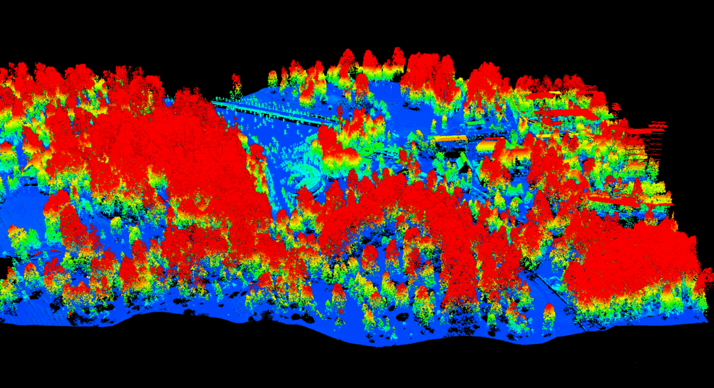
Arlington County conducted a tree canopy study through a contract with Davey Resource Group, using data captured by Bowman through a dual-sensor approach—simultaneously collecting aerial imagery and LiDAR elevation data with a Teledyne Optech Galaxy T2000 LiDAR sensor and a Phase One digital frame camera. This novel method, flown at approximately 7,000 feet, provided 4-inch ground sample distance (GSD) imagery and QL2-grade LiDAR data (2+ points per square meter), processed into a 3D point cloud.
Impact: High-Accuracy Data for Enhanced Tree Canopy Management
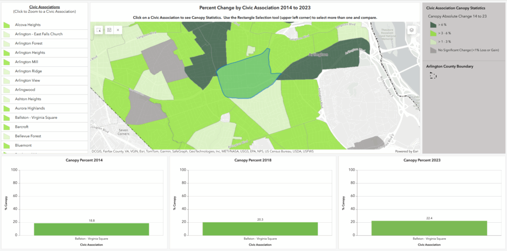
Arlington County improved its ability to analyze and track tree canopy changes across time and neighborhoods using a newly integrated dataset with the increased accuracy. This data is now part of the county’s geographic information system (GIS) and can be filtered by civic association, year and tree coverage percentage.
Bowman’s deliverables enhanced the county’s ability to make informed, proactive decisions about urban tree canopy—helping mitigate urban heat island effects, support biodiversity and improve the quality of life for residents.
Tags:Case StudyOrthoimageryVirginia
Share