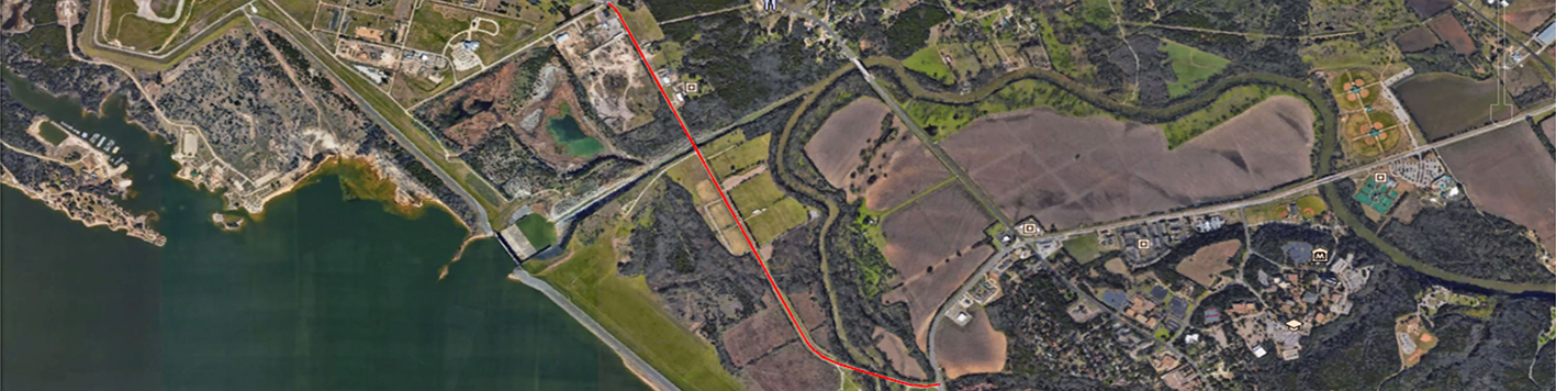
Our team was contracted by the city of Waco to conduct a topographic survey of approximately two miles of an existing two-lane road. Due to the constant traffic along this road, it was determined that utilizing a UAV would be the safest approach to gathering the required data. The UAV collected topographic data 100 inches from the road centerline on both sides of Airport Road from Lake Shore to FM 3051.
Due to the operating area being located within Class D airspace at Waco Municipal Airport, FAA airspace authorization was required. We acquired authorization using LAANC (low altitude authorization and notification capability). The Waco Municipal Airport control tower was also notified of our operation and scope of duties on the day of flight. We then flew safely and legally within the controlled airspace at 200 feet above ground level. The entire operation was completed within a two hour time frame.
All flight data post-processing, linework/feature extraction, and final deliverables were completed and sent to the client within three weeks from initial day of flight. Deliverables included: linework, manhole and water valve locations, conventional surveys, CAD files, DTM/TIN files, point cloud and ortho-imagery.