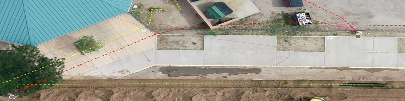
To support the design and construction of a new facility and the required utility infrastructure, our surveying and subsurface utility departments worked in conjunction to designate, survey and map existing utility conditions to support planning and design phases. Subsurface utility consultation services on this project required a thorough review of APS record documents and close coordination with public utility companies to identify public utility locations and easements with respect to the overall building and utility improvement limits. The limits included the entire APS campus and adjacent public roadways.
Through our district-wide on-call, our team continues to serve the project in response to NM811 Standard Locate Requests. Line-spotting was provided prior to and during portable and utility removals, demolition, site work and construction of utilities that would service the new facility. We are using a combination of UAV/utility designation/surveying technologies to document utility improvements associated this project. In this case, utility information is collected as it is installed in the trench to precisely map the horizontal location and elevation. Other characteristics of the utility are documented and include: utility diameter, material and installation date. These additional services will ensure utility information will be reliable and readily available for future design and construction phases. Updated maps are provided to APS FD&C and the construction team weekly or when new information is collected.