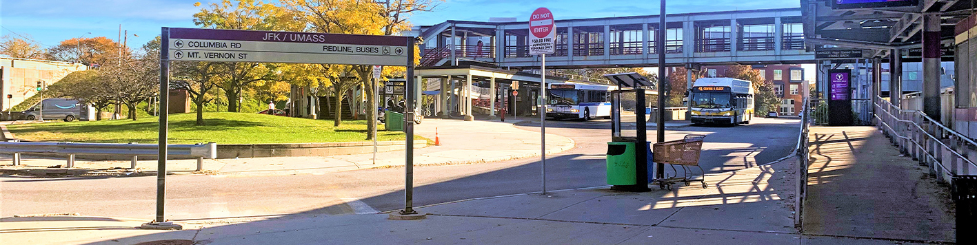
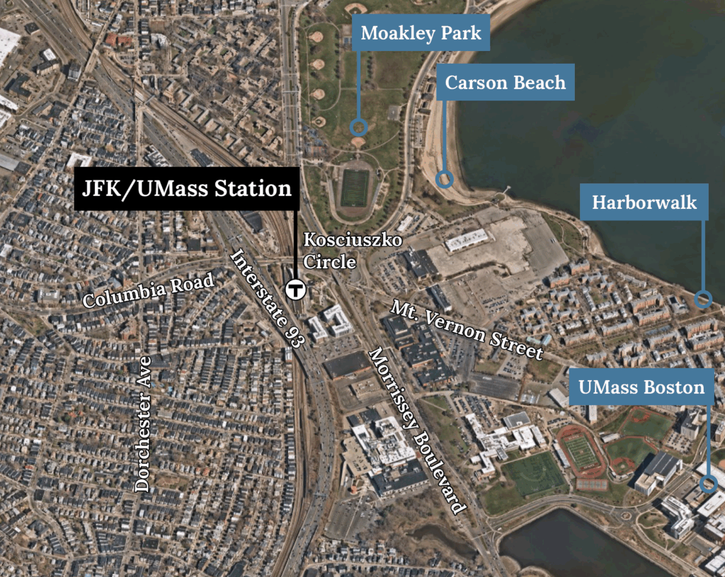
The JFK/UMass Station Area (the Station Area) is a hub for multimodal activity about two miles south of Downtown Boston. Situated on Dorchester Bay at the border of the City’s Dorchester and South Boston neighborhoods, the area serves not only as a transit hub, but a home to diverse communities and housing types, significant cultural and educational institutions, recreational and tourist destinations and a growing job center.
A Neighborhood Divided by Infrastructure
While the station itself facilitates connections across the City and region, its rail lines and station facilities also create physical barriers to east-west mobility within the neighborhood. Meanwhile, the station is adjacent to the Southeast Expressway (Interstate 93) which bisects the Station Area and divides the dense, historic communities to the west and the Columbia Point peninsula and Dorchester Bay to the east. The existing infrastructure, including the elevated expressway, the station and its rail lines and complex roadway geometry, including Kosciuszko Circle, create barriers that limit connectivity to the station and through the neighborhood.
A Community Vision & Action Plan for a More Connected Future
Given the existing mobility barriers and anticipated future development in the Station Area, the Boston Transportation Department (BTD) tasked with leading the Station Area Action Plan to develop strategies for improved accessibility, safety and mobility in the JFK/UMass Station Area. Bowman supported BTD in a series of in-person and virtual public engagement events and stakeholder meetings with agencies, including the Massachusetts Bay Transportation Authority and the Massachusetts Department of Transportation (MassDOT) to guide the plan. This included working with the community to establish a future vision for the Station Area, and brainstorming improvement ideas to make it easier, safer and more comfortable for people to get to where they need to go.
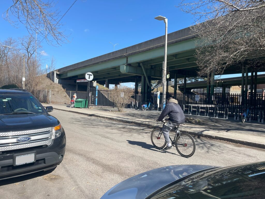
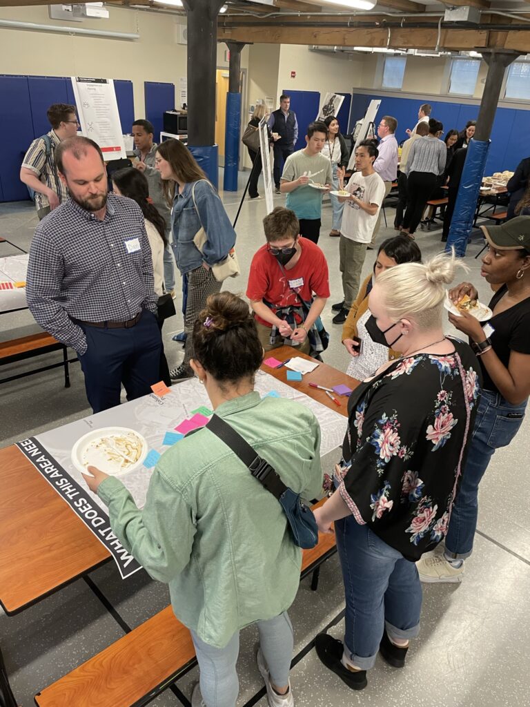
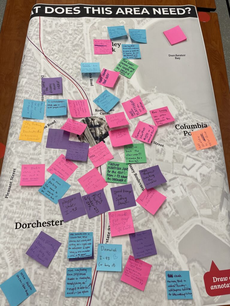
Bowman’s assessment of existing multimodal transportation conditions, key destinations and roadways, and transit service within the Station Area was developed using a combination of GIS analysis and mapping, field review, stakeholder coordination and community insights. Goals and objectives for the plan were developed and used to create metrics to evaluate potential improvement options to enhance station access and neighborhood mobility, especially for people walking and biking.
The final Station Area Action Plan prioritizes short-, medium-, and long-term recommendations for multimodal improvements and supports implementation by identifying next steps, potential funding sources, and responsible agencies, helping to chart a path for the neighborhood and its evolving mobility needs.