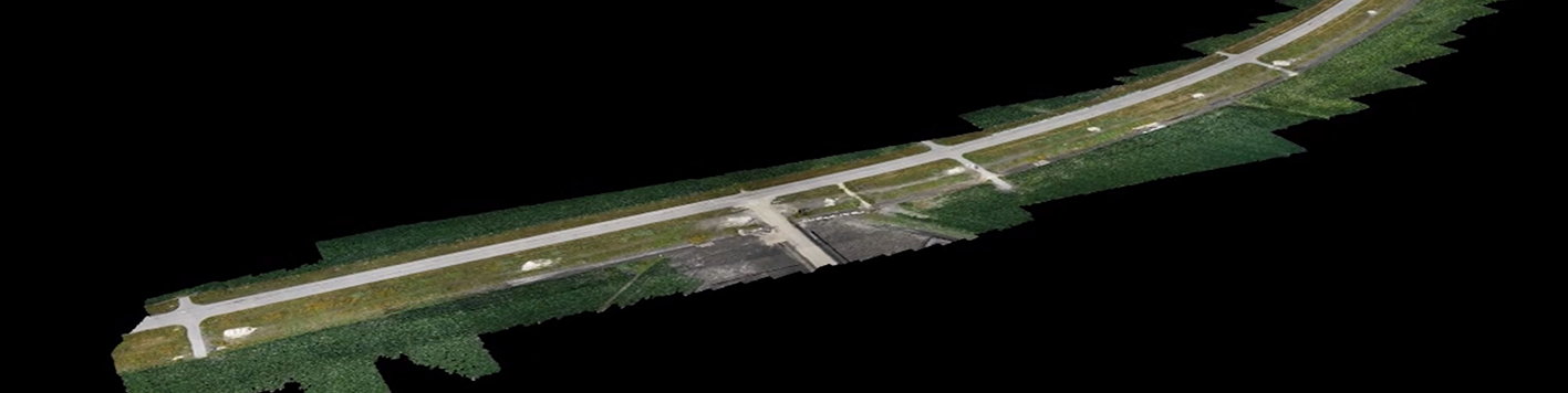
Our team completed the boundary and topographic survey of 10.2 miles for a proposed 24-in waterline from the Circleville Pump Station to the Jonah Special Utility District headquarters located in Williamson County. We established control points and benchmarks along the proposed alignment. Horizontal coordinates were established using GPS and vertical values were established by conventional leveling. Our team researched public records to obtain the deeds of current property owners, plats, and existing easements within the project limits. Field crews recovered right-of-way monuments and property corners and office staff completed the property map for the project. The topographic survey was completed using unmanned aerial vehicle (UAV) technology combined with on-the-ground surveying methods and included pavement edges, buildings, fences, walls, surface utilities, Texas One Call markings, tops and toes of slopes, trees, and other surface features. The project also included the preparation of legal descriptions and parcel plats for 45 permanent easements, signed and sealed by a Registered Professional Land Surveyor.