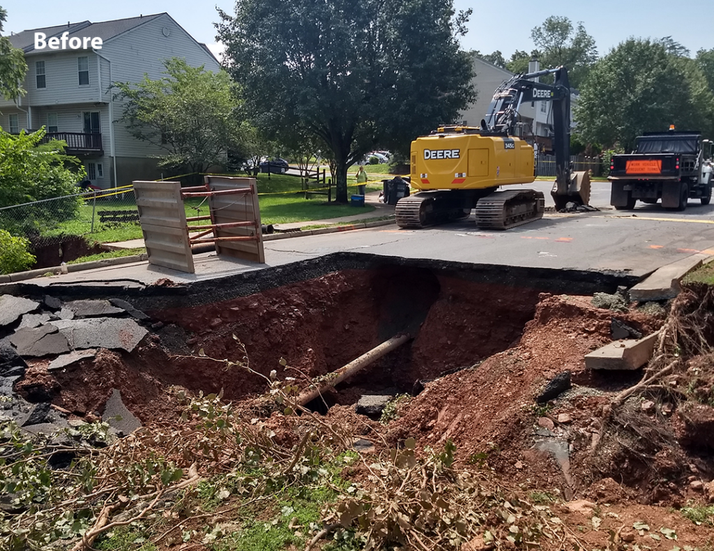
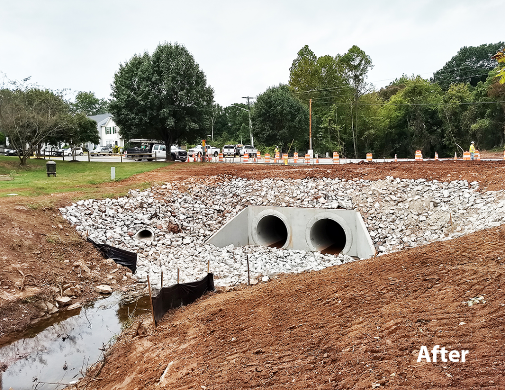
On August 12, 2020, a dual culvert under Moseby Drive in the City of Manassas Park, Virginia became compromised during a storm and subsequently collapsed. As a result, water and sanitary utilities were severed and the townhouse community of over 400 residents became inaccessible by vehicle. Bowman was called upon by the City to lead efforts to restore the vital connection.
A temporary access connection through the City of Manassas and temporary utilities were immediately planned and constructed. Fortunately, Bowman had prior experience with this crossing. In less than three weeks, resources were identified and assigned, and the team redesigned previous plans to utilize immediately available materials. The effort involved multiple disciplines including supplementary services from geotechnical, structural, and transportation partners. Extensive and constant coordination with the Virginia DOT, FEMA, and the USACE was required. Additionally, Bowman assisted with procurement of materials and advertisement/award of the construction contract.
On September 3rd, construction commenced, and on September 24th, Moseby Drive was reopened to traffic. In six weeks, the community went from disaster to recovery. Even with the accelerated delivery schedule and moving targets, the project was completed ahead of schedule and under budget. While this situation was extreme, it is just one example where we were able to leverage our regional resources and local expertise to quickly provide the support and solutions needed. Our dedication and expedience was recognized with the Heavy Construction Contractors Association (HCCA) “Excellence in Infrastructure Award (<$1M)” in March 2021.


Floodplain Management
This culvert consisted of dual corrugated metal pipes that conveyed Flat Branch Tributary B, a Zone AE floodplain. The effective floodplain was based on a 1978 model that had not been updated since Moseby Drive was originally constructed, and there was no effective model available for the floodplain. Bowman developed existing conditions and proposed HEC-RAS models during the design process to confirm that the proposed replacement culverts would not cause a rise in the existing condition water surface elevations or negatively impact any property owners. Upon completion of the culvert replacement, the City contracted with Bowman to conduct an as-built survey and prepare and submit a Letter of Map Revision (LOMR) application to FEMA. Bowman developed an as-built HEC-RAS model and prepared the LOMR package which included a written report describing our hydrologic and hydraulic analysis and findings, a topographic workmap, annotated FIRM panels (2 panels were affected), FEMA MT-2 forms, background information from the effective floodplain study, and digital copies of the HEC-RAS models. The package was approved by the City’s Floodplain Manager and submitted to FEMA through the online Letter of Map Change website. As of August 5, 2022 the LOMR had become effective and the FIRM and FIS were revised.
