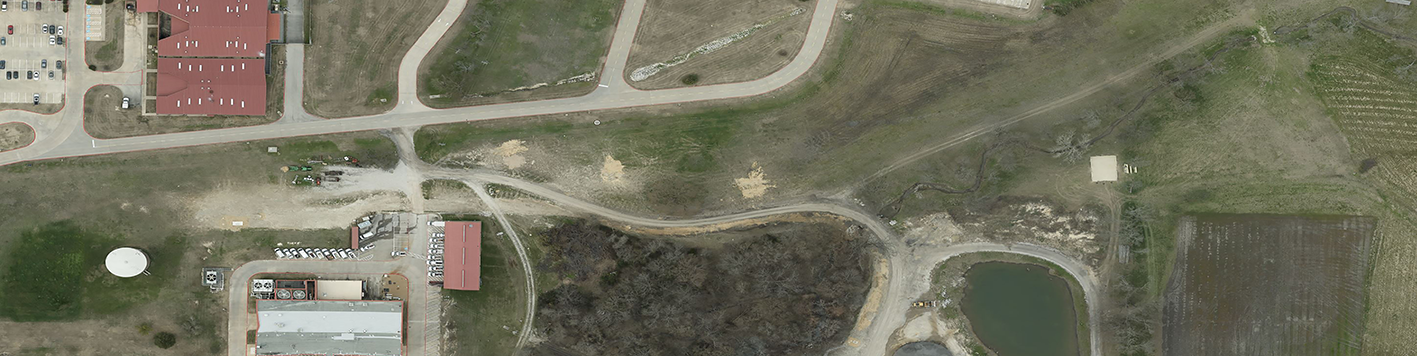
For this project, our team completed the aerial and Lidar survey for a proposed 5 mile water line in McKinney, Texas. We managed the collection of aerial photogrammetry and Lidar using a helicopter with a single pass and extracted planimetrics and a digital terrain model with one ft contours. Our field crews set project control, set ground targets for aerial and Lidar acquisition, recovered property monuments and right-of-way monuments, surveyed the locations of above ground and below ground utilities, drainage structures, creek cross-sections, and obscured areas. Field crews also located Level “A” and “B” SUE marked by a private utility company. Office staff performed research of parcels affected by the proposed project and created a property map with existing boundary lines and easements.