Complete design survey for the improvements and right-of-way acquisition for 6,000 LF of Bowman Springs Road in Arlington, Texas. The team established control points and benchmarks at 1,000-foot intervals throughout the project site. Horizontal coordinates were obtained using GPS and vertical values were established by closed level loops from City of Arlington control monuments.
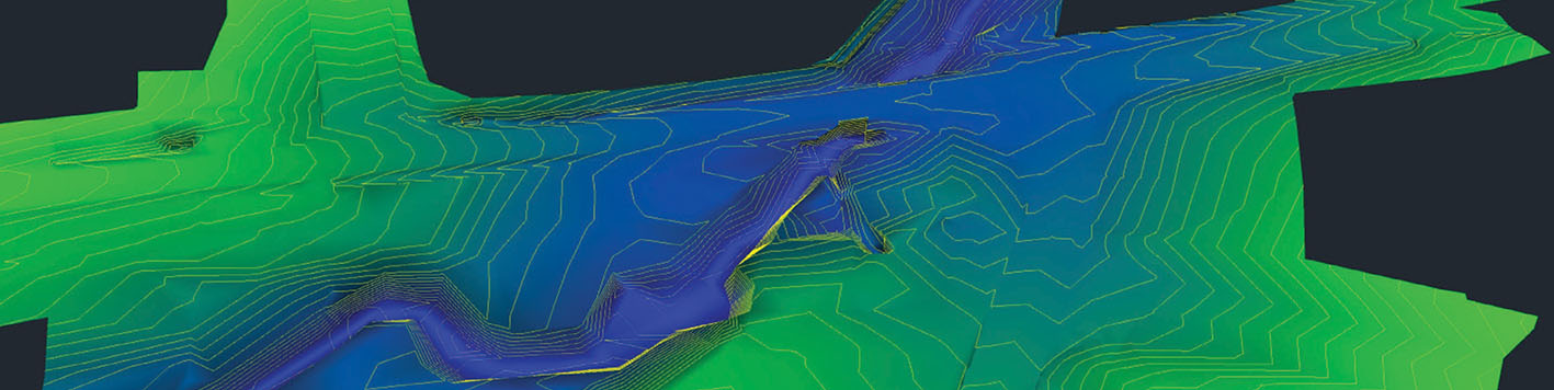
The team researched current property owners and obtained copies of subdivision plats, ownership deeds, plats, right-of-way maps, and easements within the project limits. Boundary and right-of-way monuments were recovered, and a property map was created. Topographic survey included the bridge crossing over Interstate Highway 20, pavement edges, curb and gutter, fences and walls, gates, sidewalks, faces of buildings, creeks, tops and toes of slopes, spot elevations, trees six (6) inches and greater, surface locations of utilities and flowline elevations of sanitary and storm sewer manholes where accessible, and other surface features. Our team performed cross-sections of an existing creek from a local park to Lake Arlington for H&H studies to determine if culvert improvements were necessary. Deliverables included CAD files in Microstation format to client standards, copies of field notes and field sketches, and ASCII point files.
The team also performed the survey of the Level B utilities that were marked by a private subsurface utility engineering firm. This includes surveying the locations of the marked utility lines and locations of all surface utility features (manholes, inlets, utility signs, etc.) within the project limits.