Bowman provided asset management and geospatial data collection services for a leading exploration and production company operating in the Permian Basin region of Texas.
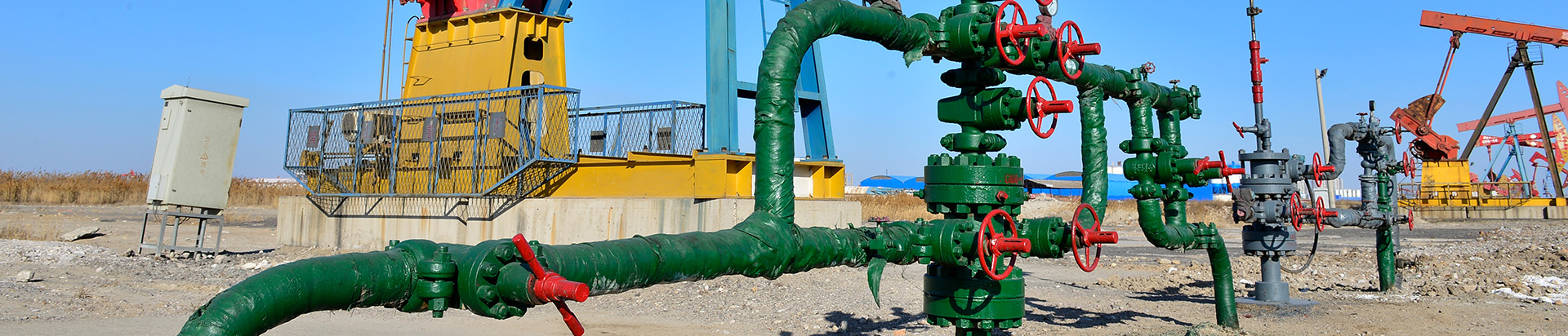
The engagement spanned nearly 1,000 well sites and facilities, requiring comprehensive coordination between field and office teams to establish accurate coordinate values for both existing and newly installed critical emission assets. These assets included gas-driven devices, pneumatically actuated valves and other related infrastructure essential to facility operations and emissions tracking.
Bowman deployed advanced geospatial technologies to conduct detailed field surveys across active sites. The team captured and processed spatial data to support accurate asset identification, positioning and documentation.
To maintain data integrity, Bowman implemented rigorous quality assurance and quality control protocols throughout the data collection and validation process. The team reviewed real-time field inputs, verified coordinate accuracy and adjusted datasets as necessary to ensure consistency and reliability.
Through coordinated field execution, advanced geospatial methodologies and structured data validation procedures, Bowman delivered accurate and defensible asset information to support the client’s operational and regulatory requirements.