The West End Subdivision is located west of the McGregor Airport and northeast of the intersection of highway 84 and Val Verde Road lying both in the City of McGregor and the ETJ of the City of Waco. The existing 397-acre tract has been utilized for agriculture purposes with adjacent properties being utilized for residential, agricultural, commercial, and air traffic purposes. Due to substantial growth in the area for both residential and commercial use, our client wanted a master-planned community with commercial spaces available for a childcare facility, assisted living facility, etc.
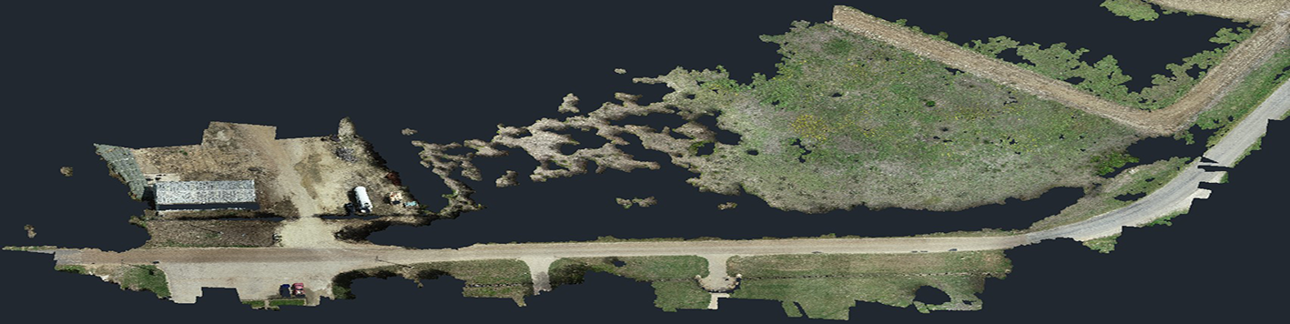
We began this project by conducting a boundary survey of the entire proposed development, which consisted of approximately 400 acres adjoining the McGregor Airport and having river frontage along the Middle Bosque River. In order to ensure this property was suitable for our client’s intended use, we utilized Lidar to produce a preliminary topographic survey of the entire property. This Lidar topographic survey was then used to construct a preliminary site and grading plan that allowed the client to determine the feasibility of the project. Once our client decided to proceed with the project, we conducted an on the-ground topographic survey to collect all necessary data (above and below ground utilities, more topographic data, all other improvements) for full civil construction plans.
This Master-Planned community consists of 610 single-family/garden home lots along with a few commercial lots along the main entry street. In addition to the typical on-site utilities that had to be designed, this site also required substantial off-site improvements to water and sewer in order to service this planned community. Off-site sewer improvements required the design of 6,463 LF of 8 in-12 in sewer lines run along Highway 84 and then bored underneath the highway to a lift station on the opposite side. Also, over 3 miles of off-site water lines had to be designed to connect in to a line large enough to supply this community and to loop the system back into an existing neighborhood. Our team utilized drone technology to collect aerial imagery and topographic data. A full set of civil construction plans was produced for phase 1 along with the master plat for all future phases.