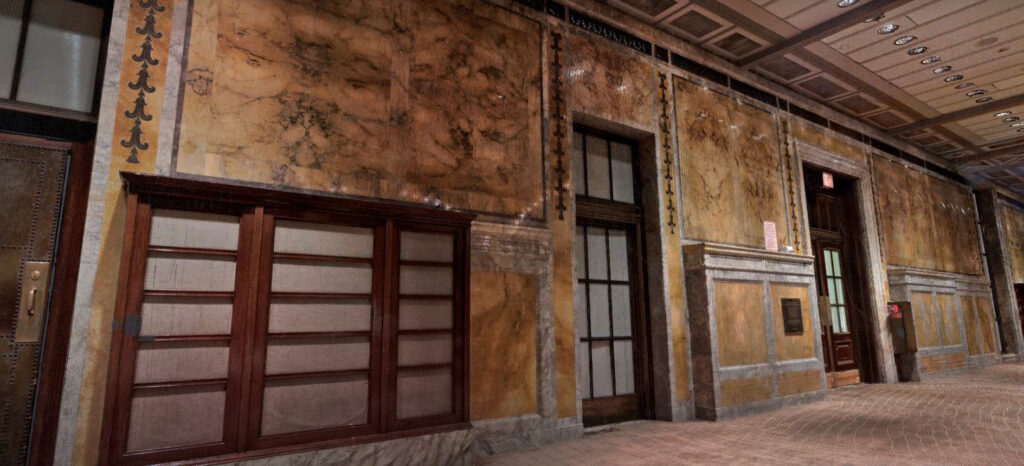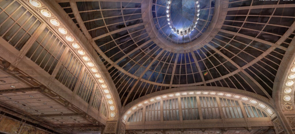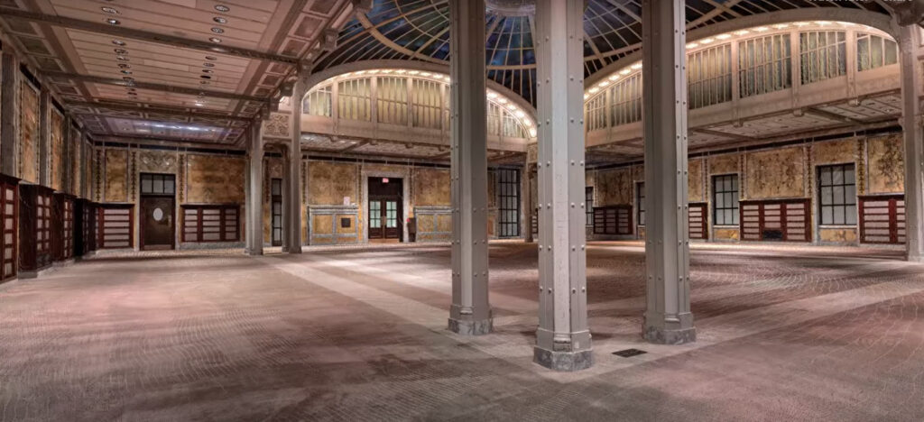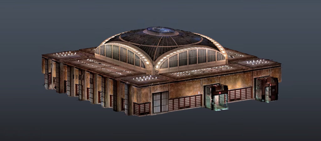
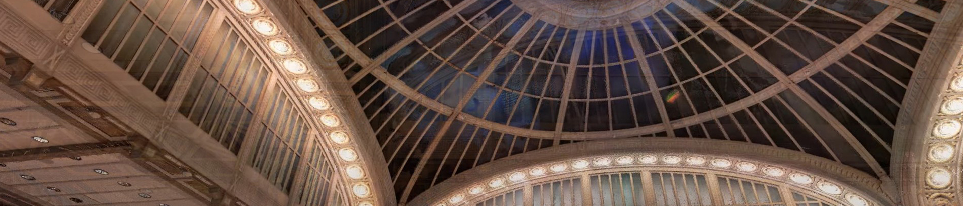
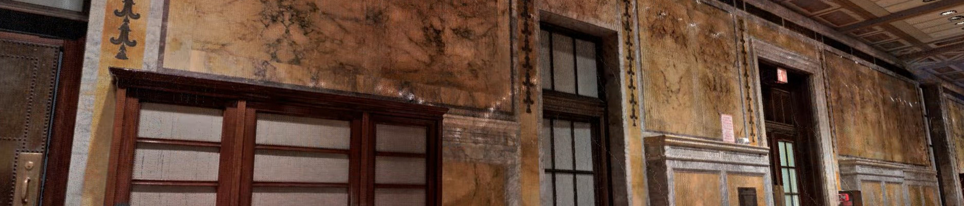
To prepare for a projection mapping show at the New York Public Library, a 3D scan was conducted on one specific historic space. Projection mapping uses irregular surfaces for large-scale visual projections. With the target surface digitized, the projection mapping team can now develop content well in advance of the event.
Process
After a quick consultation and project review, the team arrived on-site according to the client’s schedule. Using the latest Faro S series scanner, eight high-resolution scans were completed, gathering 350 million individual points in under two hours. These scans were merged to create an immersive 3D point cloud.
Result
Projection mapping teams typically work with mesh formats like OBJ. Collaborating with the client, multiple mesh iterations were refined until an optimal version was created, capturing every necessary detail for the project.