
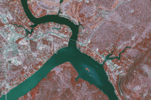
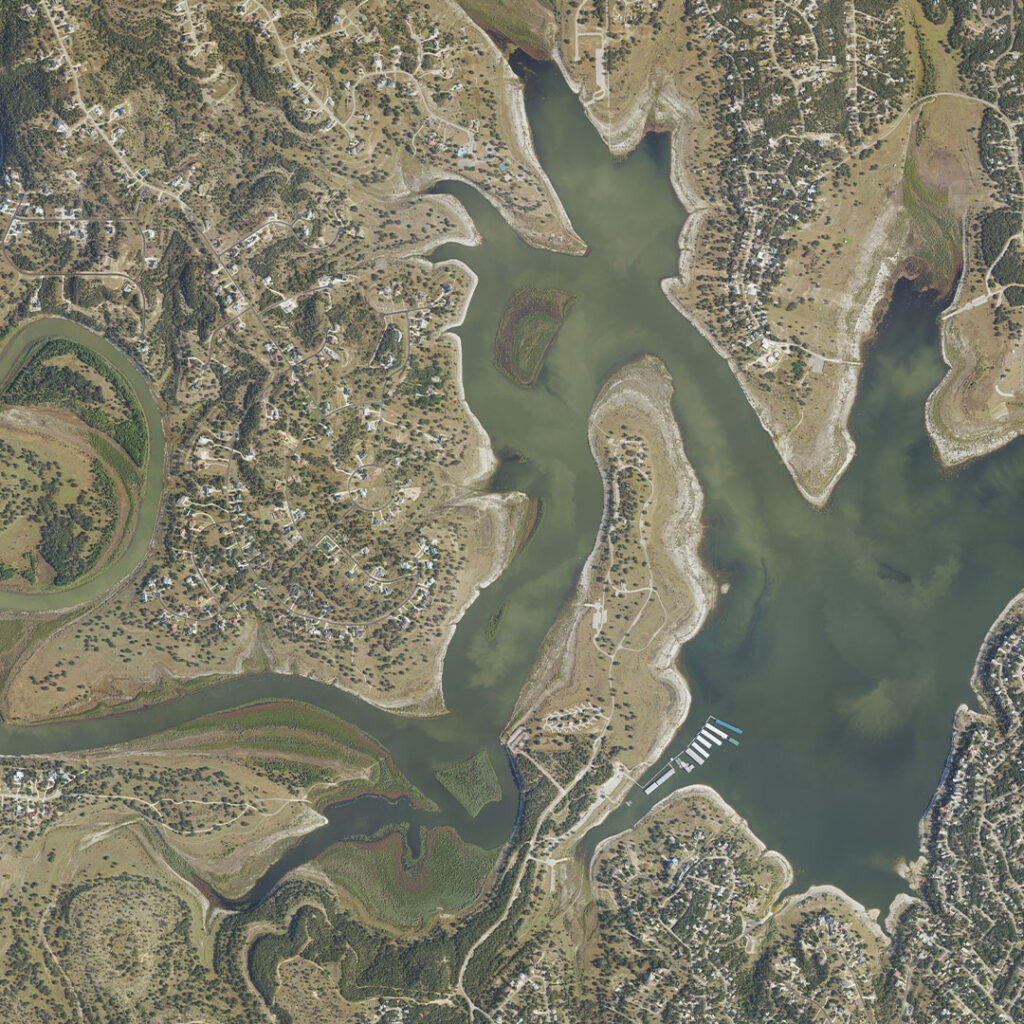
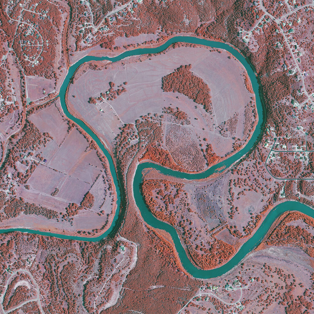
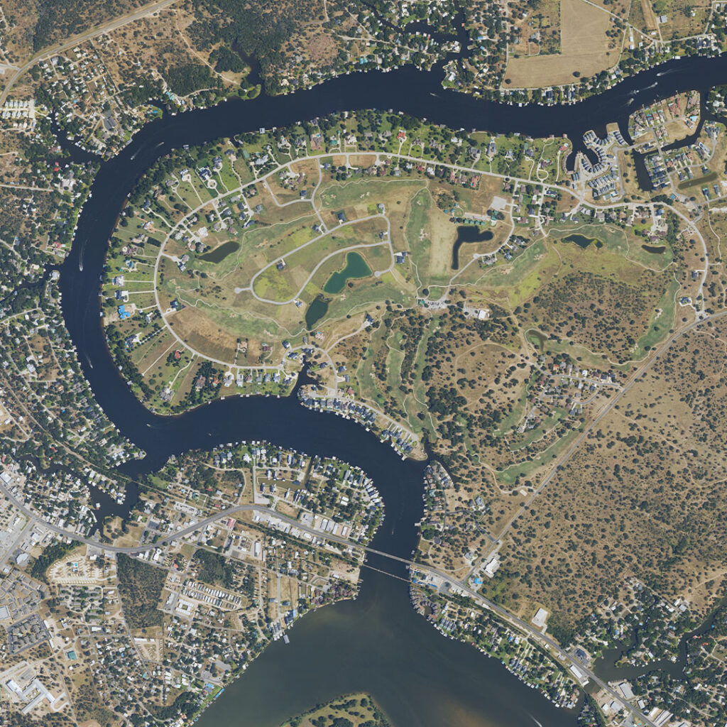
In July 2025, Central Texas was hit by historic flooding that left widespread damage.
In coordination with USDA’s Natural Resources Conservation Service and Farm Production and Conservation Business Center, and in support of federal and state response efforts, Bowman was contracted to acquire and deliver 30 cm (1-foot) high-resolution aerial imagery to assess the change in the region’s floodplain and guide recovery efforts. These images will support the mapping and modeling needed to understand the disaster’s impact, and how to reduce flood risk going forward.
Our imagery also helps the USDA and other federal and state agencies better plan infrastructure and drainage improvements.
We recognize the devastating impact this flood has had on families and communities across Texas, including the tragic loss of life. This is why we take our role seriously in helping Texas recover and prepare for the future.
Aerial imagery is one of several tools Bowman uses to support disaster response. In the aftermath of events like the July floods in Texas, our works alongside local and state partners to provide timely assessments and help guide long-term recovery planning. By managing technical aspects of flood analysis and infrastructure evaluation, we aim to support communities as they navigate the challenges of recovery and resilience.
Tags:Disaster MappingNewsTexas
Share