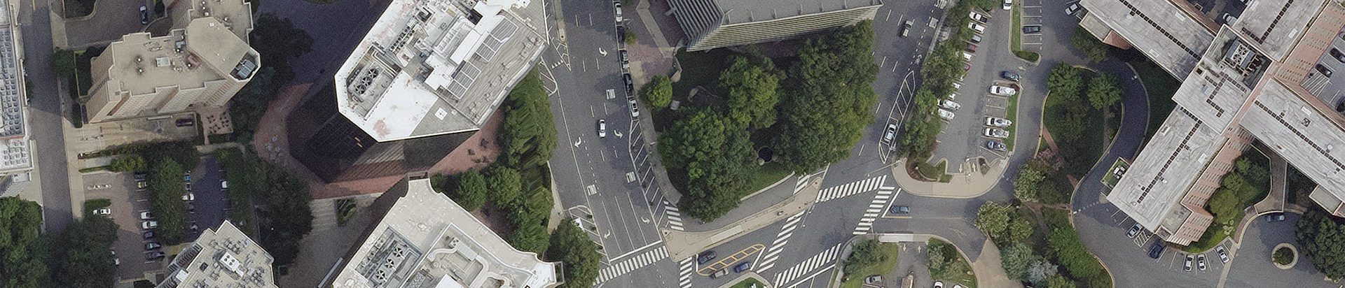
Arlington County’s 755,000+ trees are key to the area’s urban ecosystem. To better protect this resource, the county needed more accurate data on tree canopy coverage.
Bowman led the data collection effort as part of a countywide assessment with Davey Resource Group. The goal was to push canopy mapping accuracy from around 95% to 99%, giving planners a stronger foundation for decisions about tree preservation, replanting and cooling strategies.
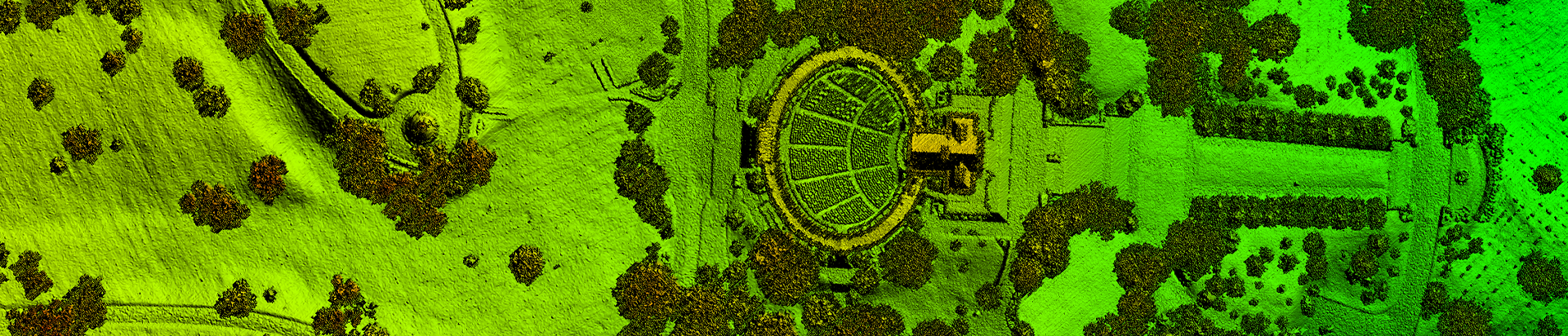
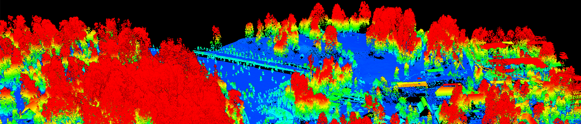
Our team deployed a dual-sensor setup to gather both aerial imagery and lidar data in a single flight at 7,000 feet. The mission combined a Teledyne Optech Galaxy T2000 lidar sensor with a Phase One digital frame camera, producing a 4-inch GSD image set and QL2-grade lidar. We processed the results into a high-resolution 3D point cloud.
Now part of the county’s GIS, the updated data helps planners and urban foresters monitor canopy changes by neighborhood, model heat and stormwater solutions and prioritize tree-related investments.
Read the case study for a deeper look at the project.