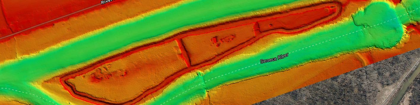
Bowman performed a multidisciplinary mapping and sediment characterization study at Lock CS-1 at the northern end of Cayuga Lake. Services included multibeam and single-beam bathymetry, side scan sonar, UAV topographic mapping, GPS and utility surveying, and sediment sampling and characterization, capturing conditions both above and below the water surface.
Bowman integrated these datasets into a comprehensive base map characterizing site and sediment conditions at the lock. This base map supports design of a recreational surface-water feature associated with the Reimagine the Canals Initiative.