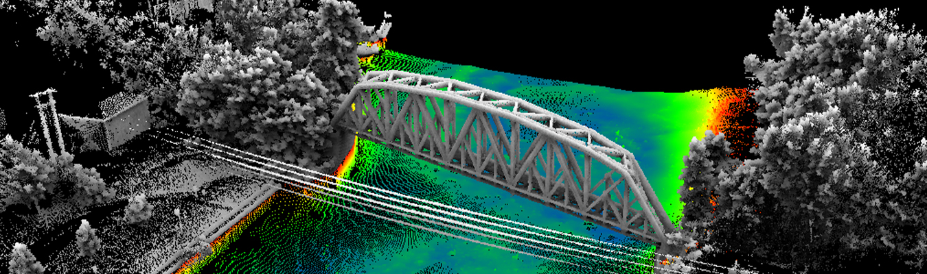
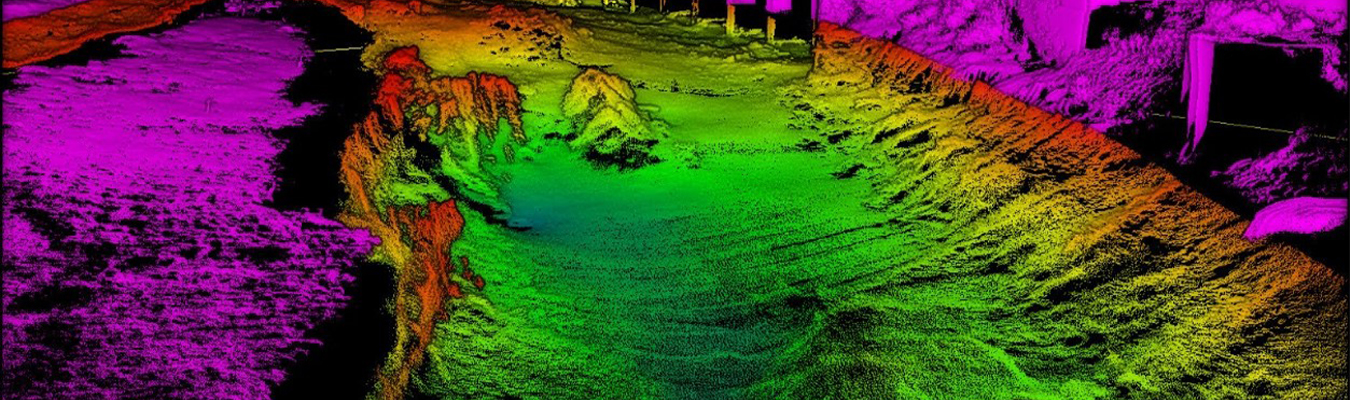
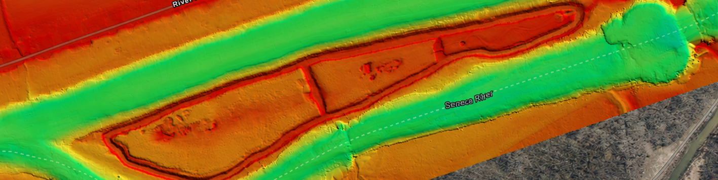
Bowman provides comprehensive bathymetric and hydrographic surveying services for rivers, lakes, coastal waters, offshore environments and submerged infrastructure. Backed by certified hydrographers, experienced divers and top-of-the-line technology, our team delivers the underwater survey data needed to support engineering, environmental, transportation and infrastructure projects of every scale.
Our underwater survey equipment exceeds national accuracy standards, including NOAA, U.S. Army Corps of Engineers and offshore wind requirements. That technology, paired with decades of nationwide experience, enables Bowman to successfully complete bathymetric and hydrographic surveys in virtually every aquatic environment.
Every underwater project starts with the right combination of technology and technique. Bowman’s hydrographic and bathymetric survey team draws on sonar, sensor and imaging capabilities to map terrain, inspect assets and monitor conditions below water.
We combine multibeam bathymetry, sidescan sonar, forward-looking sonar and integrated geophysical sensors to capture underwater terrain data for ponds, rivers, channels and reservoirs.
High-resolution photogrammetry captures cracks, corrosion, marine growth and scour in detailed 3D models, while bathymetry, sidescan sonar and acoustic positioning anchor every finding to its exact location.
Bowman collects repeat bathymetric and water quality data to document erosion, sedimentation and habitat conditions to support permitting, resiliency planning and long-term asset management.
We pair sonar and magnetometry with sub-bottom profiling to locate ferrous and non-ferrous objects, timber piles and relict infrastructure beneath the mudline for a clear subsurface picture.
When underwater conditions call for more caution than a diver alone can provide, Bowman brings in an ROV. Our teams combine live video feed and sonar imaging to search for submerged debris, obstructions and structural issues around bridges, dams and marine infrastructure.
Bowman has a suite of leading underwater survey equipment and technology that allows our team to handle nearly any underwater condition, from shallow inland water bodies to deeper coastal environments. Every piece of technology we deploy meets or exceeds the accuracy standards required by regulatory bodies and infrastructure types. That standard carries through to delivery, where cloud-based upload and processing turn field data into a usable deliverable fast, without waiting on multiple mobilizations.