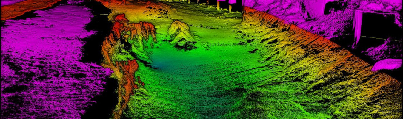
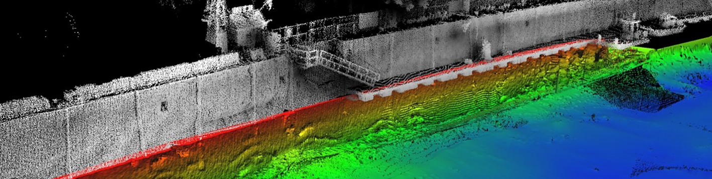
Before a dredging project starts or a bridge design moves forward, details below the water need to be brought to the surface. Bowman’s hydrographic survey team uncovers those details using multibeam bathymetry, sidescan sonar, forward-looking sonar and integrated geophysical sensors to map submerged terrain and infrastructure.
This combination of technology captures detailed underwater conditions in ponds, lakes, rivers, channels and oceans, including complicated karst and fractured environments. On top of this, every hydrographic survey performed by Bowman is backed by certified hydrographers and equipment that meets or exceeds the accuracy standards set by NOAA and the U.S. Army Corps of Engineers.
Bowman’s hydrographic survey capabilities cover the full range of underwater data collection for projects that span bridge inspection programs, marine construction, dredging support, dam surveys and more. Each survey draws on the right combination of sonar, sensor and mapping technology for the site conditions and project goals to ensure your project has the data it needs to move forward with confidence.
Our survey vessels, sonar systems and sampling equipment work together to provide a full underwater picture rather than a partial one. This combination of technology and equipment also means less time remobilizing for additional data since one deployment can capture bathymetry, imagery and physical samples together. Whatever your project requires, Bowman has the technology and capabilities to capture it.