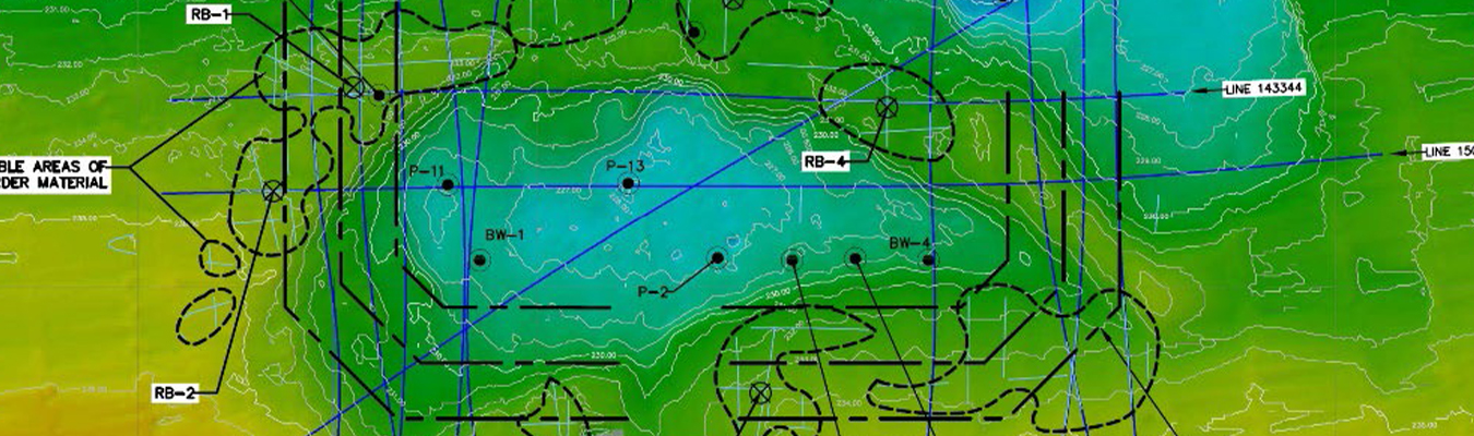
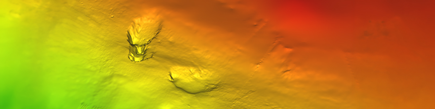
Bowman’s marine geophysical surveys look beneath the riverbed or seafloor to locate obstructions, including timber piles to ferrous and non-ferrous debris buried well below the mudline.
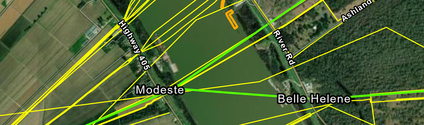
We layer multiple sensor types to detect obstructions and relict infrastructure, then determine their approximate location and depth of embedment. Whether a marine geophysical survey is needed for development work or research, Bowman has the equipment and personnel to provide an accurate subsurface picture on any timeline. Our sub-bottom profiling equipment can also locate pipelines and electrical cables, saving time and money on utility crossing surveys.
No single sensor captures everything beneath a riverbed or seafloor. Bowman layers sonar, magnetometry and sub-bottom profiling technology to confirm what’s really below so surprises stay out of the schedule and budget.
Bowman’s marine geophysical survey vessel carries multibeam and side scan sonar for bathymetry and imaging, while a set of portable and integrated sub-bottom profiling systems handle subsurface detection, including pipelines and electrical cables buried beneath the mudline. Running this equipment together in a single deployment keeps utility crossing surveys and other subsurface investigations on schedule.