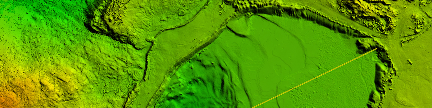
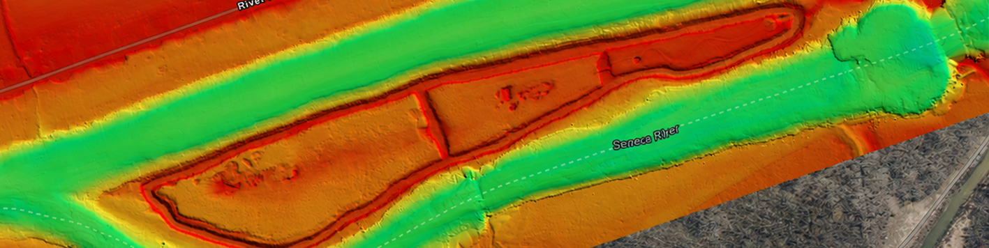
Waterways change overtime, and a survey only captures where things stand right now. Bowman’s coastal and environmental monitoring capabilities track erosion, sediment build up and movement, vegetation growth and density, habitat shifts and other underwater conditions to create a clear record of how those conditions evolve. The record gives clients the data they need to support permitting, resiliency planning and long-term asset management.
This same monitoring approach extends to inland lakes, rivers and reservoirs, where volumetric changes and sediment buildup can affect capacity and water supply planning. Whether the concern is a shifting coastline or a shrinking reservoir, Bowman delivers the repeat data clients need to track changes and plan accordingly.
Bowman’s coastal and environmental monitoring capabilities cover the data collection needed to track change across coastal, inland and reservoir environments. Each program is built around repeat surveys and consistent methodology, so results stay comparable from one monitoring cycle to the next.
Monitoring only works if every survey cycle collects data the same way. Bowman uses the same core survey technology across each monitoring visit, so results from one season or one year can be compared directly to the next without gaps or inconsistencies in data. That consistency also means less time spent adjusting equipment or methods between visits, since the same vessels, sonar and sampling tools cover bathymetry, imagery and physical samples in every cycle.