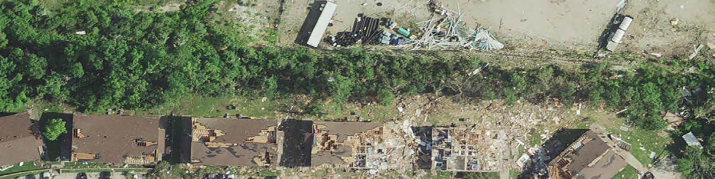
Bowman’s rapid response disaster mapping services are designed to support emergency operations when it matters most. With proven experience fast-tracking disaster response for events such as floods, tornadoes and hurricanes, our team is equipped to deliver high-quality, actionable data.
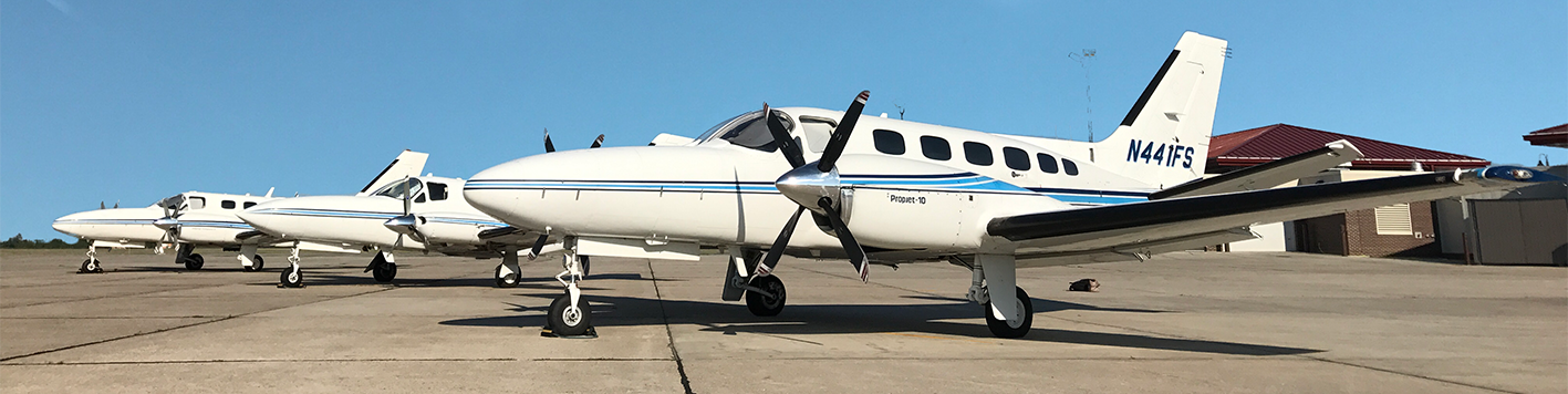
Our fleet of 10 aircraft and a variety of large-format digital imagery and LiDAR sensors allow us to mobilize and capture data quickly in the immediate aftermath of a natural disaster. As an approved vendor under the General Service Administration (GSA) Disaster Purchasing Program and holding a GSA contract, our digital orthoimagery, LiDAR and digital mapping services are specifically tailored for emergency response.
We also have a wealth of project experience working directly with FEMA and state first responder agencies to acquire and provide quick-response data products.
Our rapid disaster response program, combined with advanced aerial data acquisition and processing technology and specialized expertise, ensures that critical data is available to support decision-makers via web service within 36-48 hours after data acquisition in the crucial moments following a natural disaster.
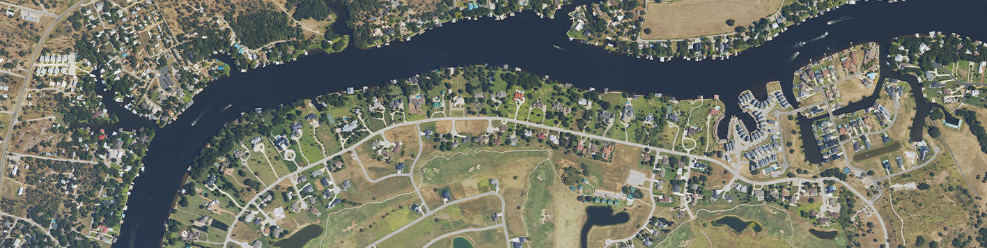
High-resolution (6” to 12” Ground Sample Distance (GSD) for most disaster/emergency response applications) aerial imagery for damage assessment, rehabilitation, debris management roadway maintenance and repair and disaster preparedness.
Precise 3D models of affected areas to help identify structural damage, debris and landscape changes. We also have the capability to collect both high-resolution digital imagery and LiDAR data during the same aircraft mission with our dual sensor configuration if required.
Detailed maps, planimetrics (feature identification) and analytics to support rescue, recovery and rebuilding efforts, enabling responders to act quickly and efficiently.